Ładowanie mapy…
Sünser Spitze
Peak
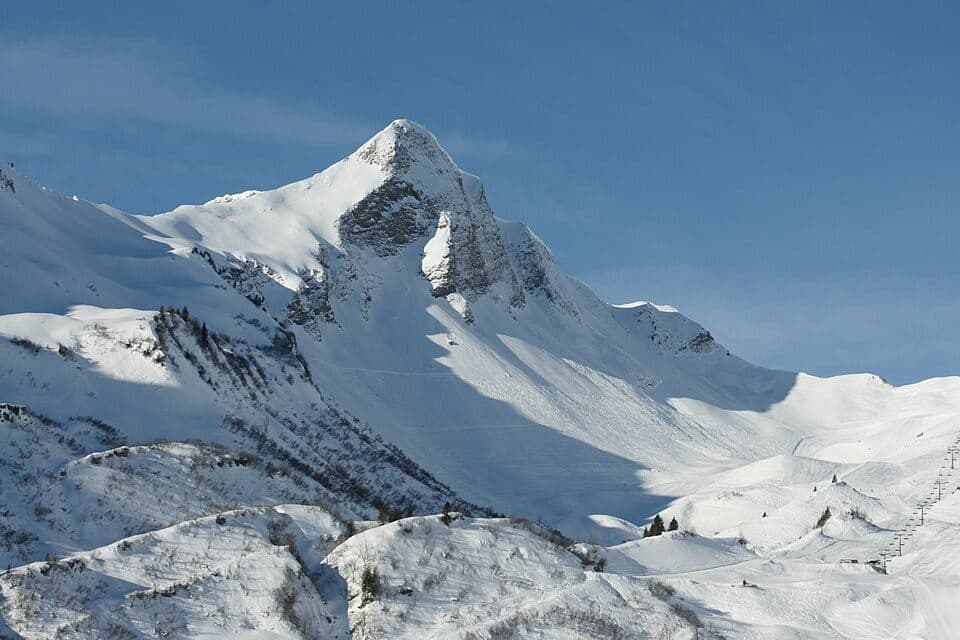
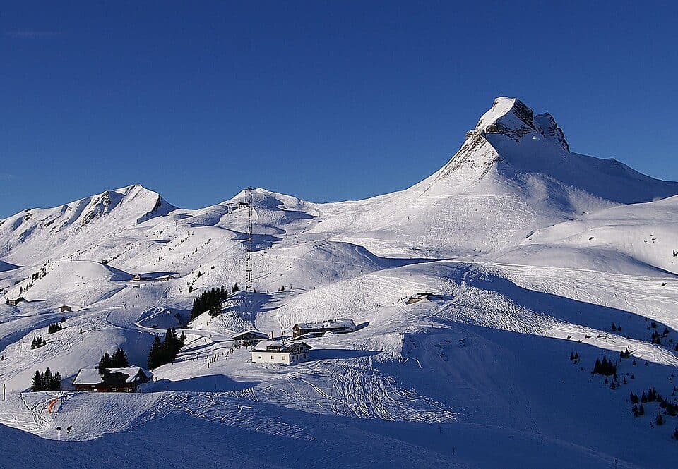
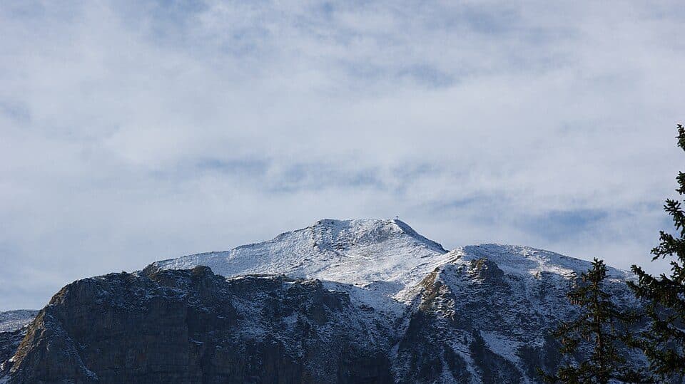
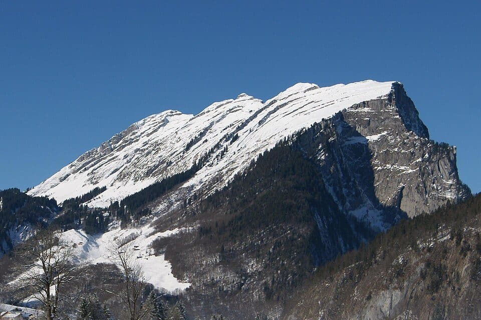
RätikonSünser Spitze rises to 2061 m above sea level as a secondary peak of the Hochblanken in the Damüls Mountains, part of the Bregenzerwaldgebirge range in Vorarlberg, Austria. It holds a special distinction as the highest point within the municipal area of Dornbirn, the largest city in the state, even though the summit itself sits right on the border with the municipality of Mellau.
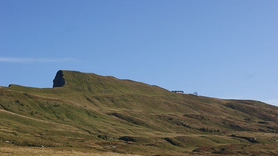
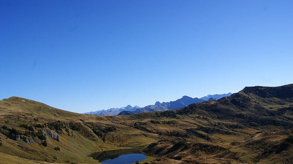
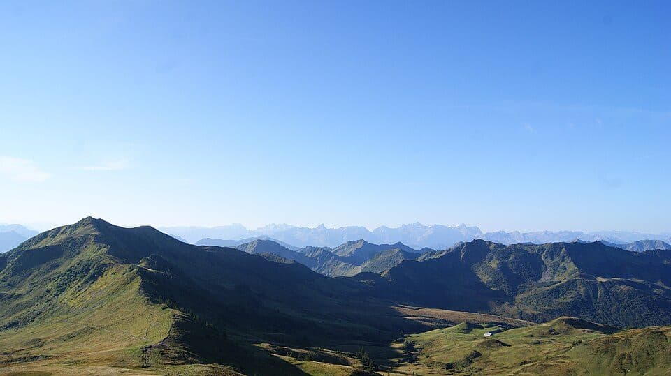
The peak forms part of a roughly ten-kilometer-long mountain ridge stretching eastward through Ragazer Blanken, Hochblanken, Hohes Licht, Damülser Mittagsspitze, Wannenkopf and Gungern to Klippern. The ridge slopes gently southward toward Damüls as a tilted plateau, while the northern side drops away sharply in bare, rugged rock bands — a dramatic contrast that defines the character of this landscape. At the foot of the summit lies the scenic Sünser See, and both the lake and peak are reachable via marked hiking trails. The entire area falls within the Hohe Kugel - Hoher Freschen - Mellental nature reserve, preserving a wild and largely untouched alpine environment.
How to reach the summit- Starting from the Sünser See area or near Mellau — marked trail, moderate difficulty, duration depends on chosen route
- Alternative approach via Damüls along the gentler southern slope of the ridge
- The summit lies within a protected nature reserve, so please respect conservation rules
- The nearby Sünser See is a popular destination combined with the summit hike
The origin of the name Süns remains uncertain, with some scholars tracing it to the Germanic personal name Sunno, while historic maps from 1857 referred to the peak under a completely different name, Fallelei Joch.