Ładowanie mapy…
Salaruelkopf
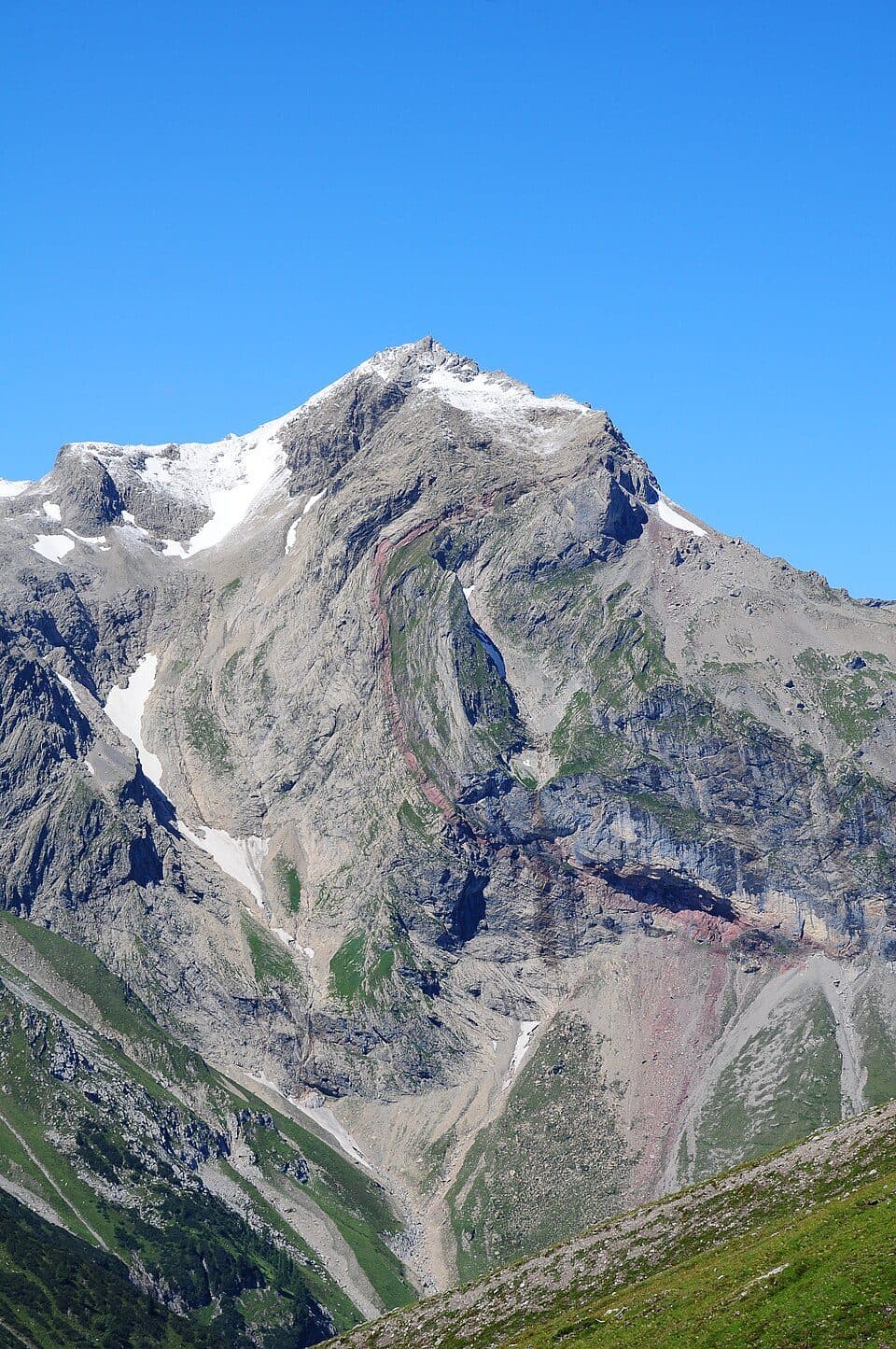
At 2841 m, Salaruelkopf is the third-highest peak of the Rätikon range, and its summit survey marker sits exactly on the border between Austria's Vorarlberg and Switzerland's Graubünden. Standing on this spot means literally straddling two countries at high altitude.
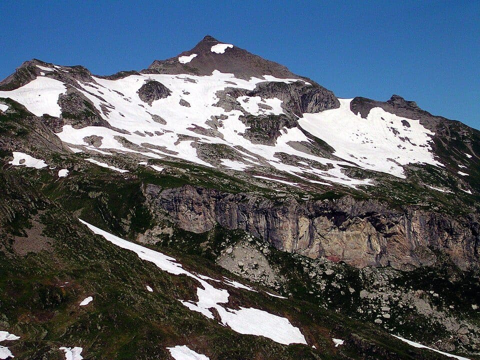
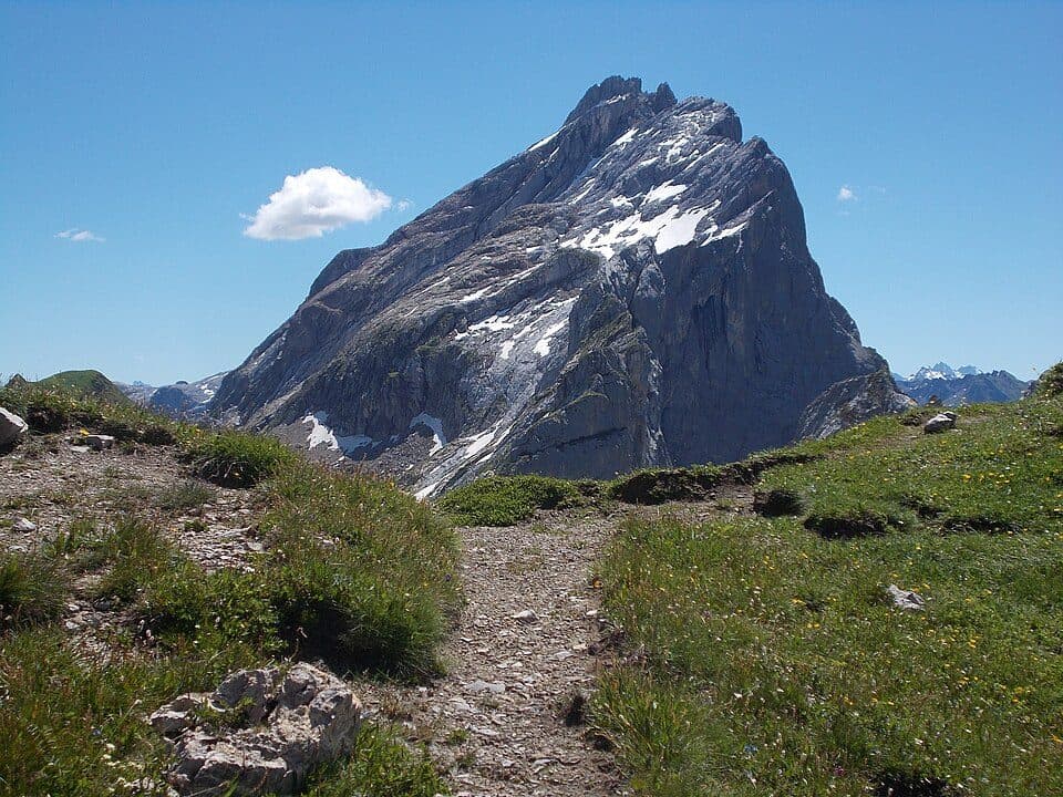
Compared to the neighboring Panüelerkopf, which rises 18 meters higher just to the north, Salaruelkopf is a relatively minor summit along its south ridge — but that doesn't make it any less rewarding. Its southwest and northeast ridges are dramatic but crumbly and barely climbable, while the north ridge offers an easy way up. From the top, hikers are treated to views over the nearby Brandner Glacier and the surrounding peaks of the Schesaplana group, with a wild, high-alpine atmosphere in summer and a snow-draped scene in winter.
How to reach the summit
- Mannheimer Hütte (2679 m) — the standard route heads west across a gently sloping firn field of the Brandner Glacier and over rocky ledges up to the connecting ridge with Panüelerkopf, about 1 hour, moderate to demanding due to alpine terrain
- Oberzalimhütte (1889 m) — via the artificially constructed, highly exposed Straußsteig path from the north, about 5 hours, demanding
Good to know
- Salaruelkopf is usually climbed as part of a traverse of the higher Panüelerkopf from the north
- The summit survey point lies exactly on the Austrian-Swiss border
- The southwest and northeast ridges are loose and unstable — the north ridge is the recommended approach
The first recorded ascent is thought to date to 1849, likely made by Anton Neyer, a well-digger from Bludenz, during a climb of the neighboring Panüelerkopf.