Ładowanie mapy…
Spiš–Šariš Intermontane Depression
The Spiš–Šariš Intermontane Depression is a peaceful, elongated highland region in north-eastern Slovakia that offers a wonderful alternative to the more crowded Tatra trails. Nestled between several mountain ranges, it combines rolling hills, broad valleys and charming villages into a landscape that feels genuinely off the beaten path. If you enjoy hiking without the crowds, this is your kind of place.
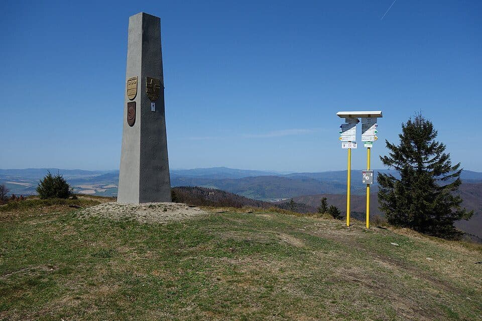
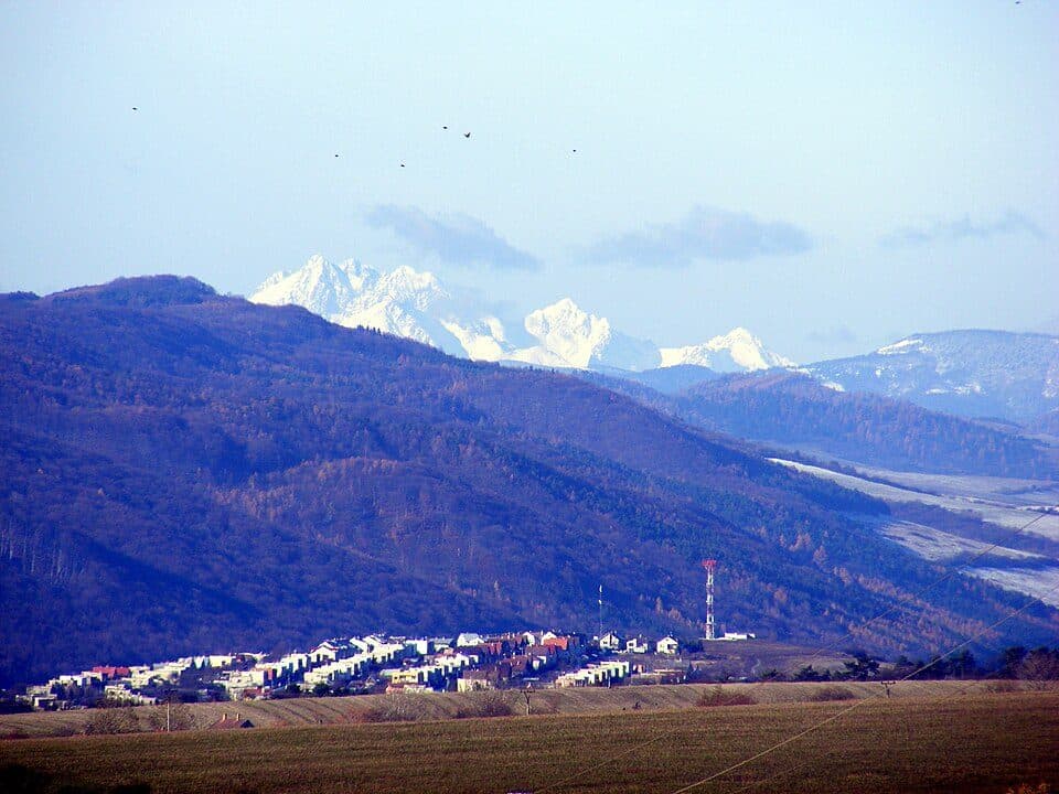
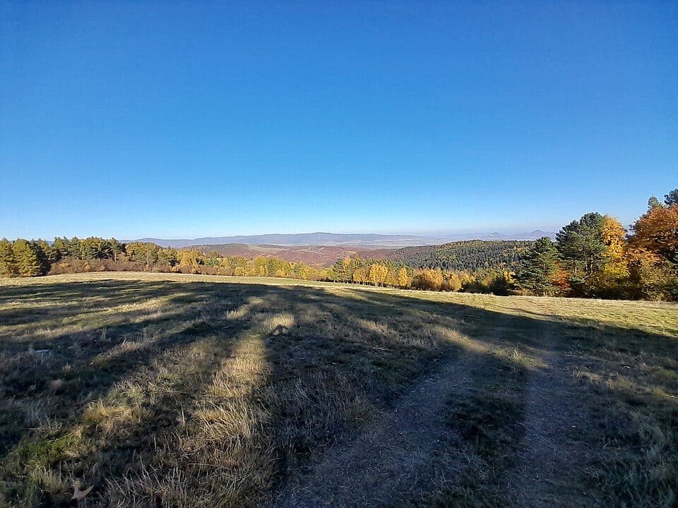
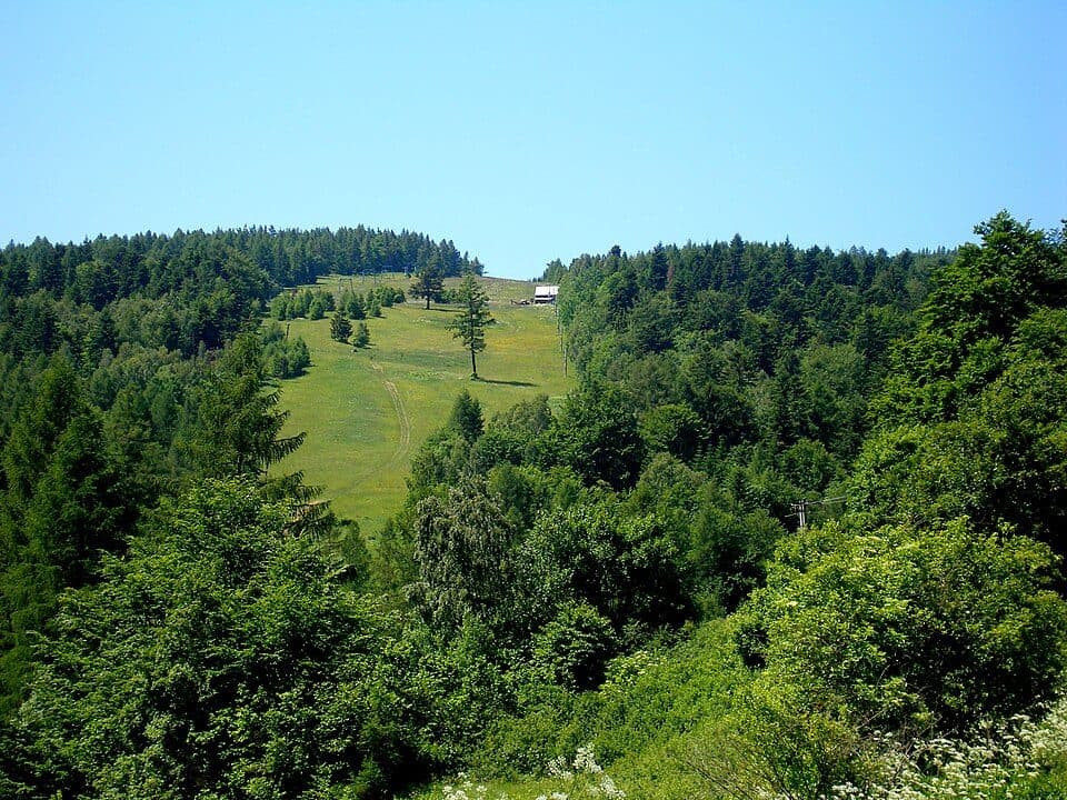
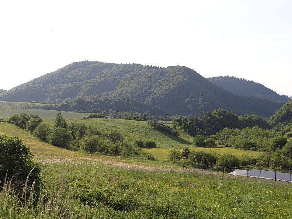
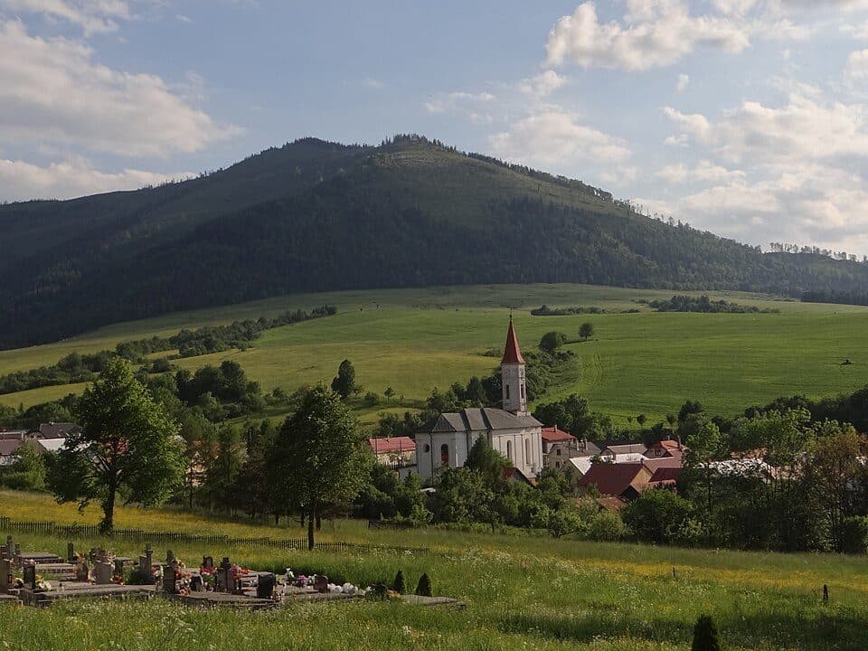
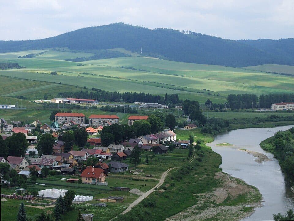
Stretching in a north-west to south-east direction and reaching up to about 10 km in width, the area is bordered by the Spiš Magura, Levoča Hills, Bachureň and Šariš Upland to the west, and by the Beskydy Foothills, Čergov and Pieniny to the east. The highest summit in the entire unit is Hromovec at 895 m a.s.l., located in the northern part above the village of Šambron. The terrain is varied — from the Ľubovňa Basin and the Jakubany Furrow to the gentle Šariš Lowland — giving hikers a rich palette of landscapes to explore. Spring brings wildflowers to the meadows, summer offers lush mixed forests, and autumn transforms the hillsides into a blaze of gold and amber.
How to get there- Šambron village (roadside parking) — route to Hromovec summit (895 m), moderate difficulty.
- Stará Ľubovňa town — convenient base for exploring the Ľubovňa Basin, easy terrain.
- The region is divided into 6 geomorphological sub-units — consider planning your visit in stages.
- The eastern boundary touches the Pieniny National Park area; check current access rules before heading out.
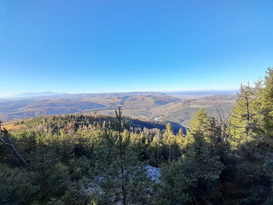
Hromovec, the region's highest point, remains largely unknown even among Slovak hikers — making it one of those rare summits where you can enjoy the view entirely to yourself.