Ładowanie mapy…
Schönbichler Horn
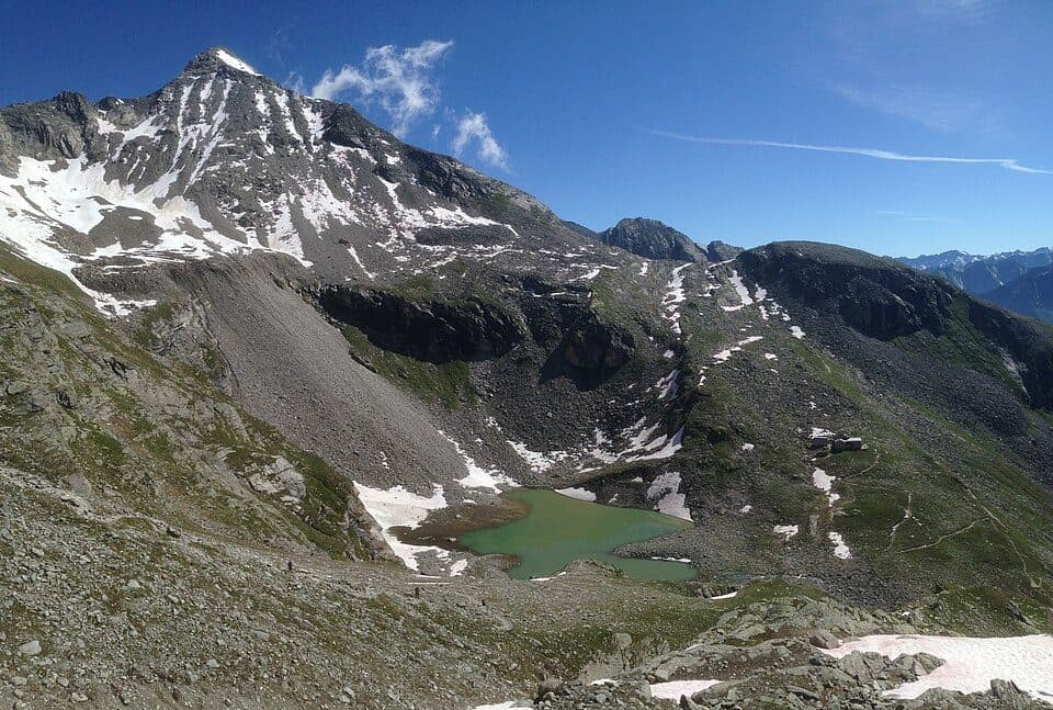
Schönbichler Horn is one of the most frequently climbed 3,000-metre peaks in the Zillertal Alps, and for good reason - the popular Berliner Höhenweg long-distance trail passes just below its summit, complete with a stamp station for hikers. It's a peak that rewards a modest effort with a huge payoff in views.
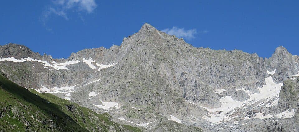
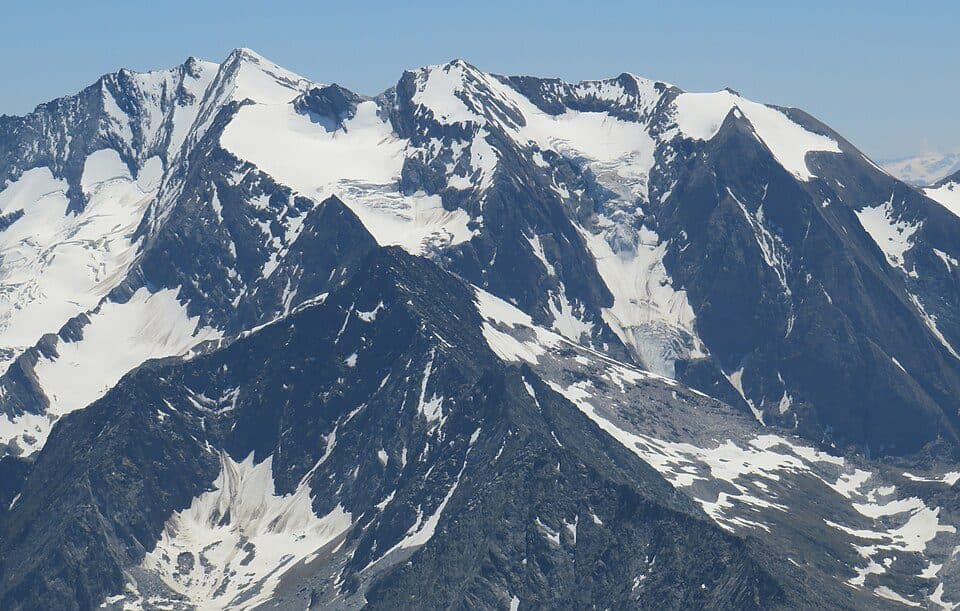
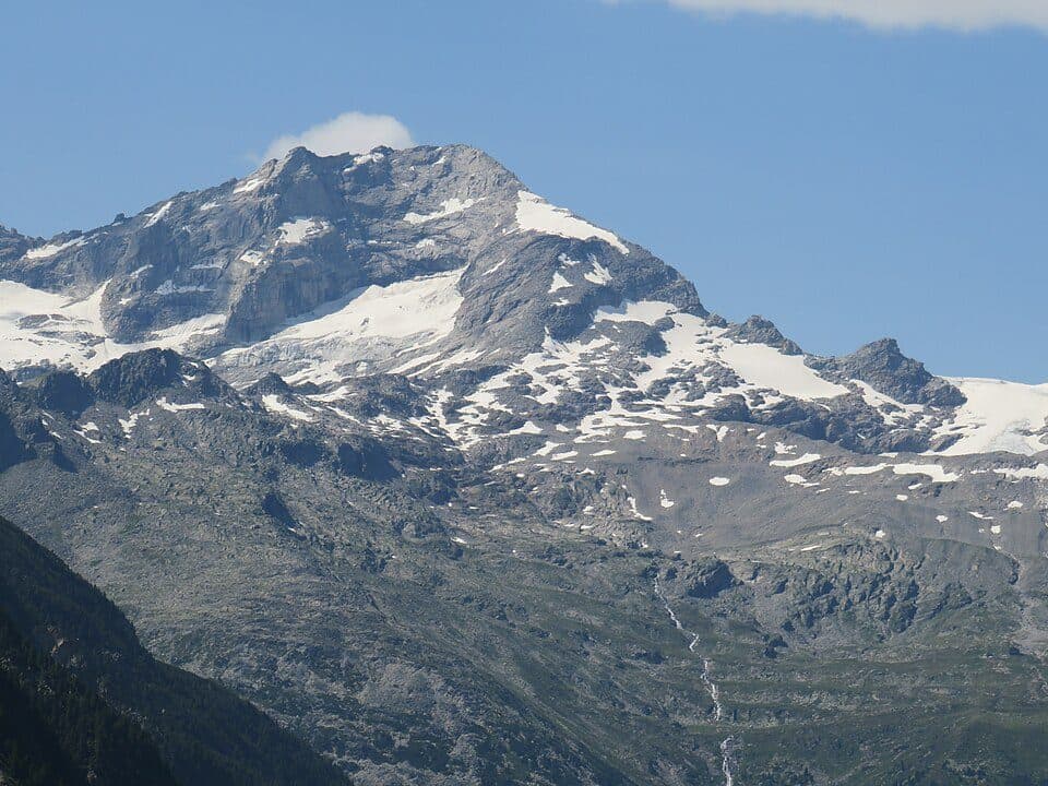
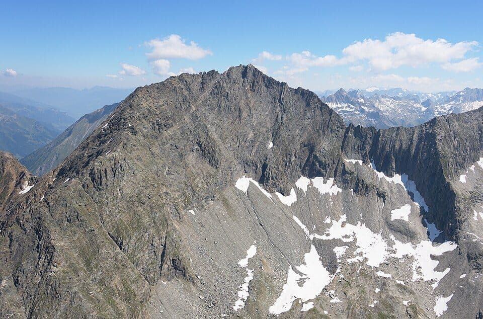
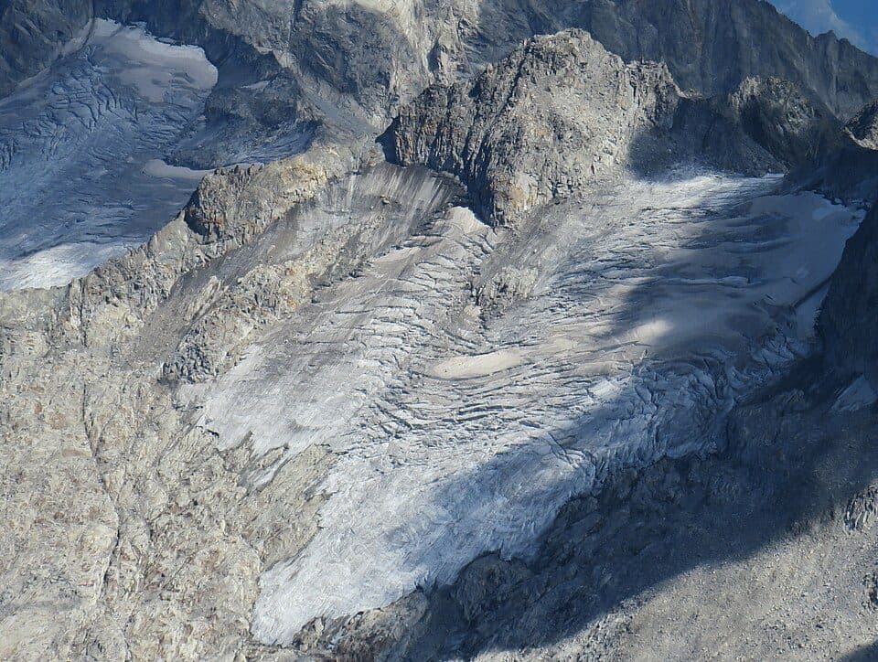
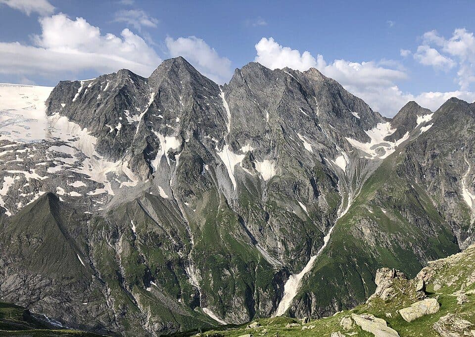
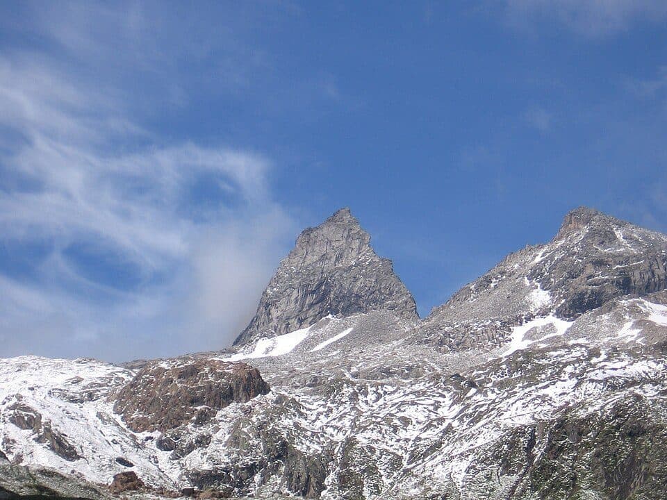
Rising to 3134 m above sea level along the Greinerkamm ridge, the summit is flanked by two substantial glaciers: the Waxeggkees to the north and east, and the Furtschaglkees to the south, part of the four-kilometre-long Schlegeiskees. From the top, you can take in neighbouring peaks such as the Talggenköpfe to the northwest and the striking Furtschaglspitze to the south, separated by the Schönbichler Scharte. The final stretch below the summit is secured with fixed steel cables on both sides, adding a touch of exposure without demanding technical climbing skills.
How to reach the summit- Furtschaglhaus (2293 m) — about 2.5 hours, moderate difficulty, along the Berliner Höhenweg
- Berliner Hütte (2042 m) — about 3 hours, moderate difficulty, approach from the opposite side of the ridge
- A stamp station for long-distance hikers on the Berliner Höhenweg is located near the summit
- Fixed steel cable protection is installed on both sides of the final approach below the top
- From the summit, routes lead onward to climbs on the Furtschaglspitze, Talggenköpfe, and Großer Greiner (3201 m)
The peak has a surveying history dating back to 1853, when it was climbed for regional land mapping, and again later for military cartography - a reminder that this scenic summit has long served science as well as hikers.