Ładowanie mapy…
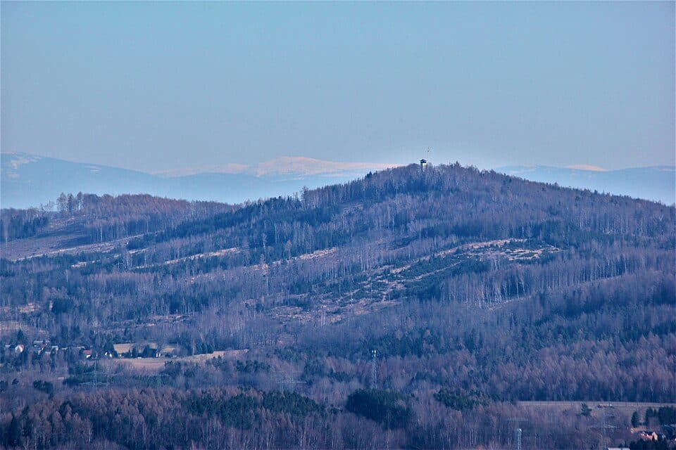
Kuhberg is a modest yet distinctive peak in the Lusatian Highlands, rising to 433.6 m northwest of Dürrhennersdorf. It's a great choice if you're after a peaceful forest hike away from the crowds, with some genuinely interesting geology along the way.
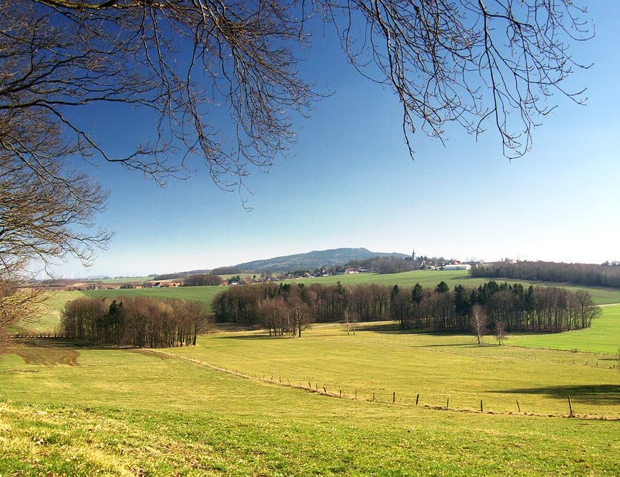
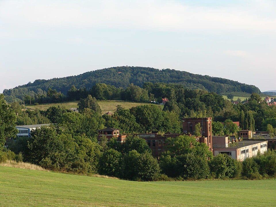
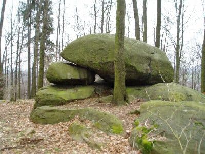
The mountain rises about 80 meters above the valley of the Schönbacher Wasser stream and the Schewitzer ponds to its south and southwest. Like the nearby Hutberg and Steinklunsen hills, Kuhberg's southern slope shows a distinctive stepped terrain formation — a telltale sign of the underlying rock structure. Unlike Steinklunsen (437 m), though, Kuhberg has no rocky cliffs. Scattered granodiorite boulders dot its slopes, and some were stacked into a stone wall along the old boundary between the former Dürrhennersdorf farmers' woodland and the Löbau town forest. The former town forest area is dominated by spruce plantations, mixed here and there with larch and pine, while the old farmers' woods retain a mixed deciduous character with dense undergrowth — a nice contrast to spot as you walk through.
How to reach the summitOne curious detail: weathered granodiorite shows up almost everywhere in the soil across the slopes, forming variably podsolized brown earth soils — a small but telling clue to the deep geological history hiding beneath this quiet, forested hill.