Ładowanie mapy…
Kötzschauer Berg
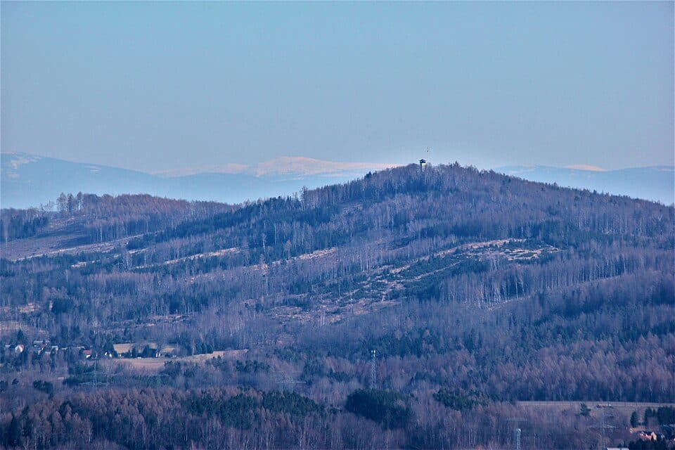
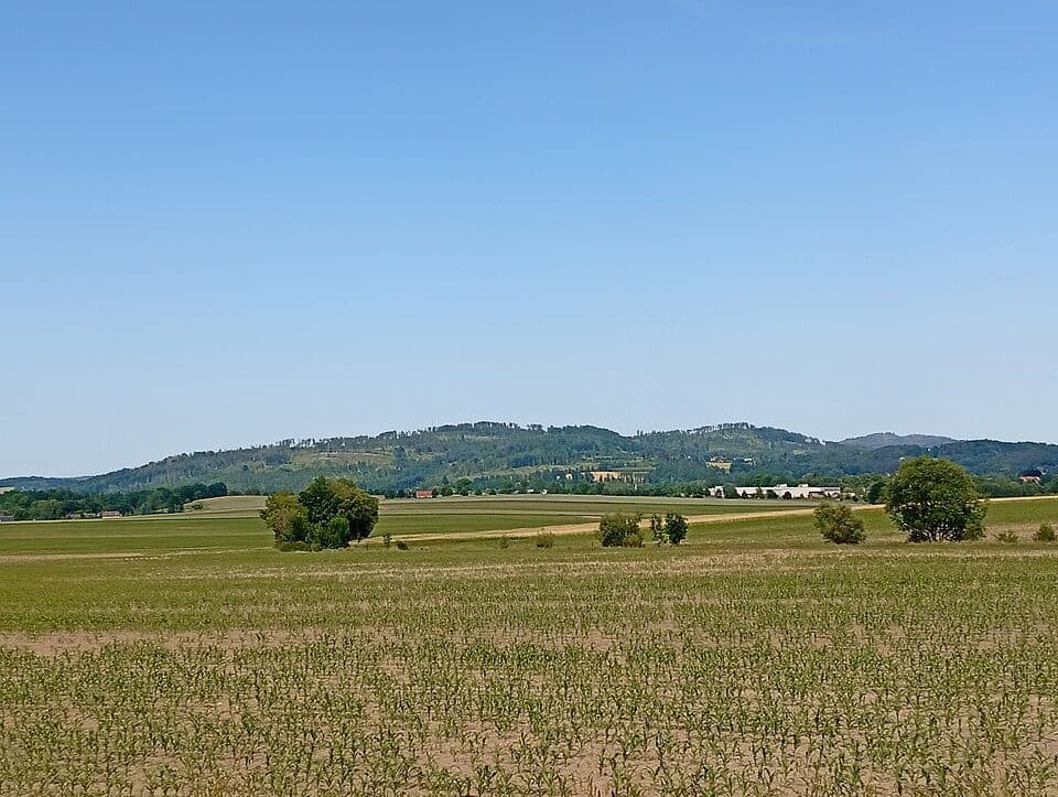
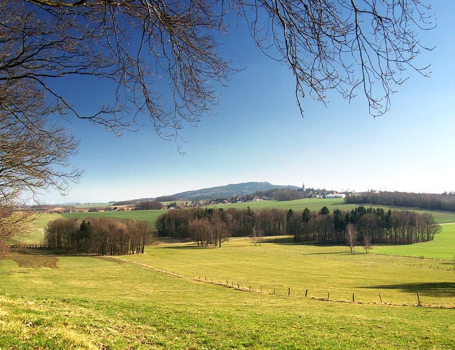
Kötzschauer Berg is a modest but charming summit in the Lusatian Mountains, rising to 465.5 m between the villages of Lauba and Kleindehsa, just five kilometers west of Löbau. It's a fine choice for hikers who prefer quiet trails and off-the-beaten-path discoveries over crowded peaks.
The summit's defining feature is a rocky ridge — a cliff between one and five meters high and roughly forty meters long, made of granodiorite and broken up in places by fallen boulders. The western and southwestern slopes are scattered with rock debris, remnants of former quarries that operated here until 1960. The upper slopes were once dominated by spruce forest with red elderberry in the understory, but a bark beetle outbreak around 2020 caused nearly the entire spruce stand to die off. The area is now regenerating naturally and through planting of drought-resistant species, with efforts made to avoid monoculture. Lower down, on fresher soils, a lush mixed forest takes over — oak and birch woodland with blueberries in some spots, ash and black alder in the damper corners.
How to reach the summit
- From Lauba or Kleindehsa — approx. 30-45 minutes, easy route
- Approach also possible from the former quarry village of Kötzschau at the mountain's foot
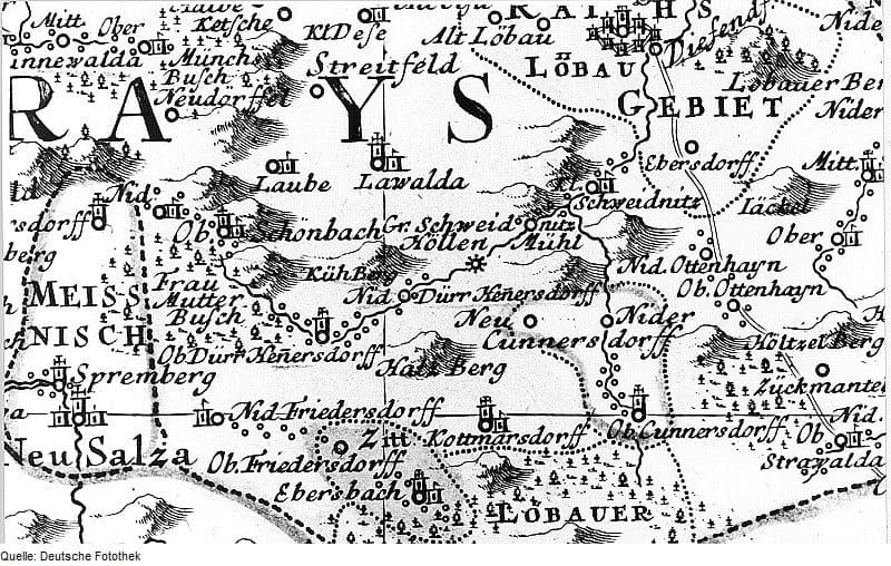
The mountain's name has shifted over time: 19th-century maps called it 'Pferde- oder Halbhufenberg', later maps used Hufenberg, and one 1883 map mistakenly labeled it Mittelberg. Only the 1938 map finally settled on the name Kötzschauer Berg.