Ładowanie mapy…
Gilfert
Peak
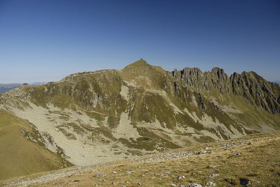
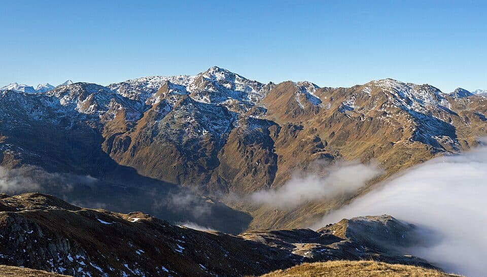
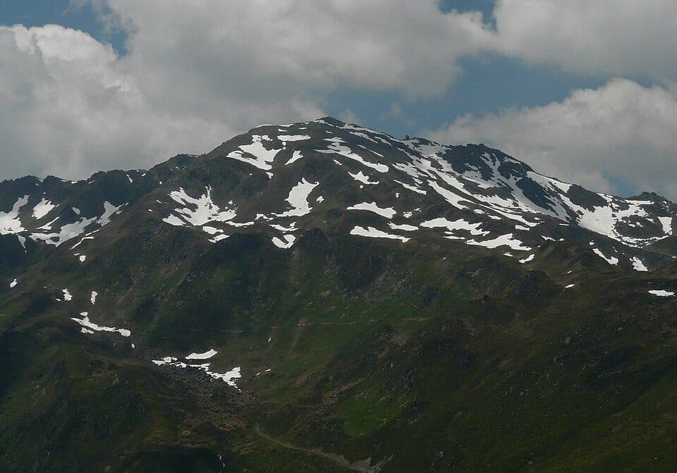
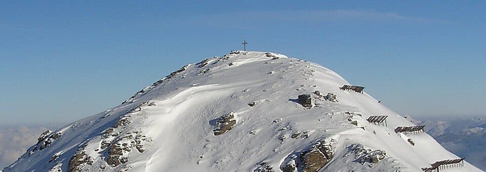
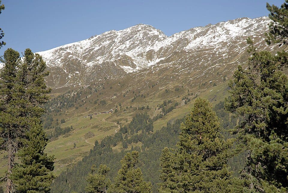
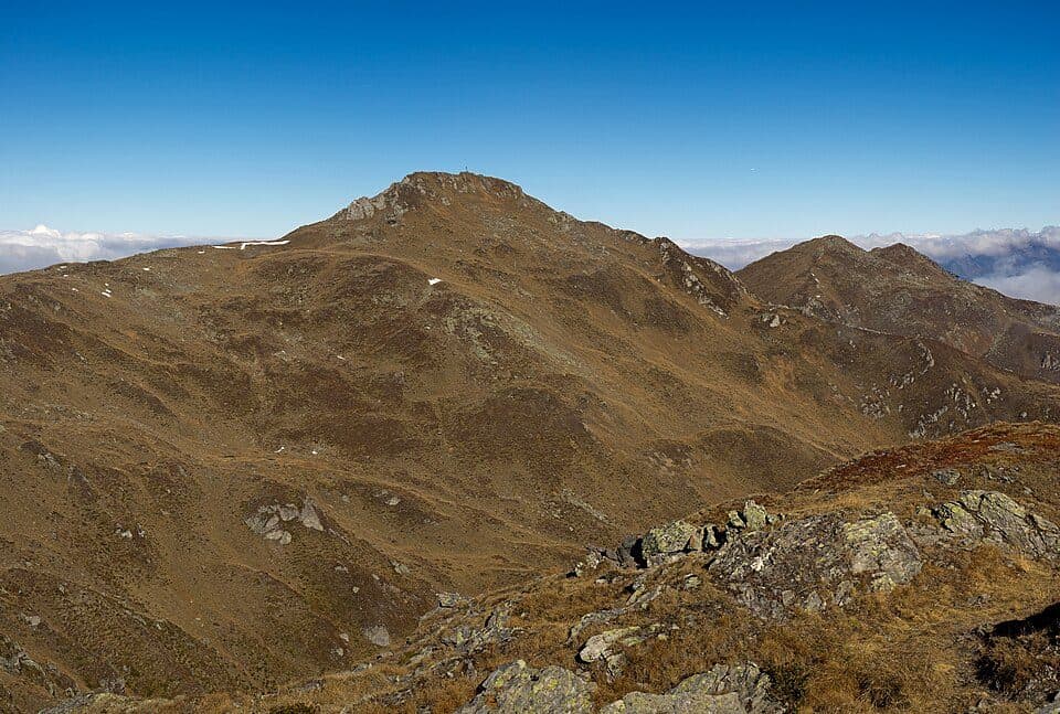
Tux AlpsThe Gilfert rises to 2506 metres in the Tux Alps, standing as the northernmost outpost of the Rastkogel massif. Its prominent position means it's visible from almost anywhere in the lower Inn Valley, making it a familiar landmark for locals and visitors alike.
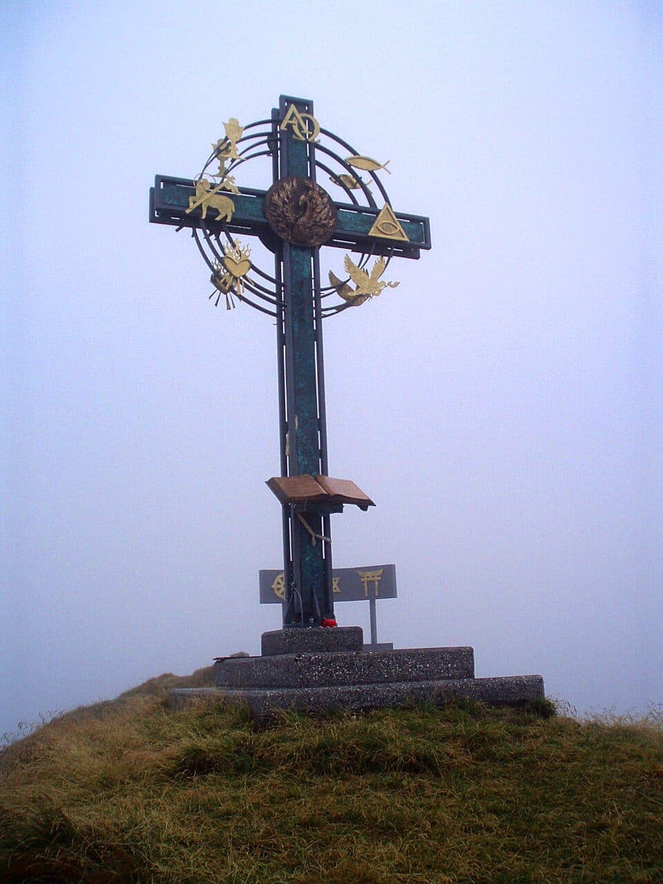
What sets this mountain group apart geologically is that its rock walls run predominantly north-south, giving the heavily fragmented ridge system a distinctive character despite its complex, branching crest. The summit carries a large summit cross, as do the two northwestern subsidiary peaks (Wetterkreuz) and the neighbouring Sonntagsköpfl (2244 m). Carved into the eastern flank is Das Kar, a rocky cirque enclosed on nearly three sides, which drains via the Lamarkbach stream into the lower Zillertal. In winter and spring, the ascent route is popular with ski tourers and snowshoers thanks to its relatively low avalanche risk.
How to reach the summit- Innerst near Weerberg (southern slope of the Inn Valley) via the Nonsalm (1785 m) — an easy, non-technical route, also popular in winter on skis or snowshoes
- Alternatively from Pill or the district capital Schwaz — a route running almost parallel to the summit
- The Innerst–Nonsalm route is considered relatively safe from avalanches, which is why it's a favourite winter ascent
- Summit crosses mark not only the main peak but also its subsidiary summits and the nearby Sonntagsköpfl
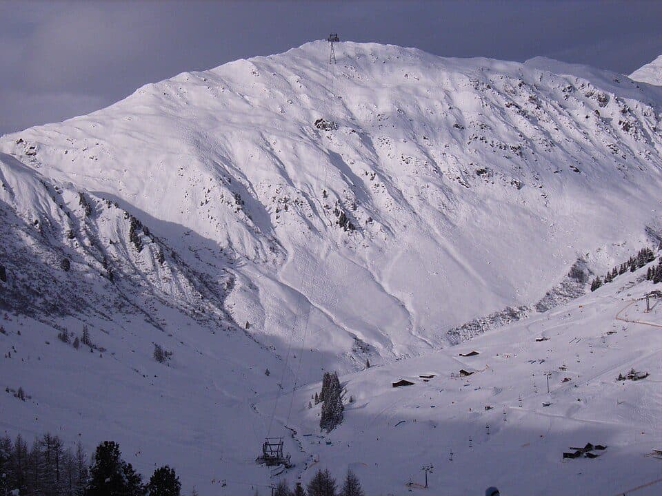
The future of the Gilfert has long been debated — some advocate for a protected quiet zone spanning Gilfert and Rastkogel, while nearby Inn Valley communities push for a link to the Hochfügen-Hochzillertal ski area. No final planning decision has yet been made for this part of the central Tux Alps.