Ładowanie mapy…
Fußstein
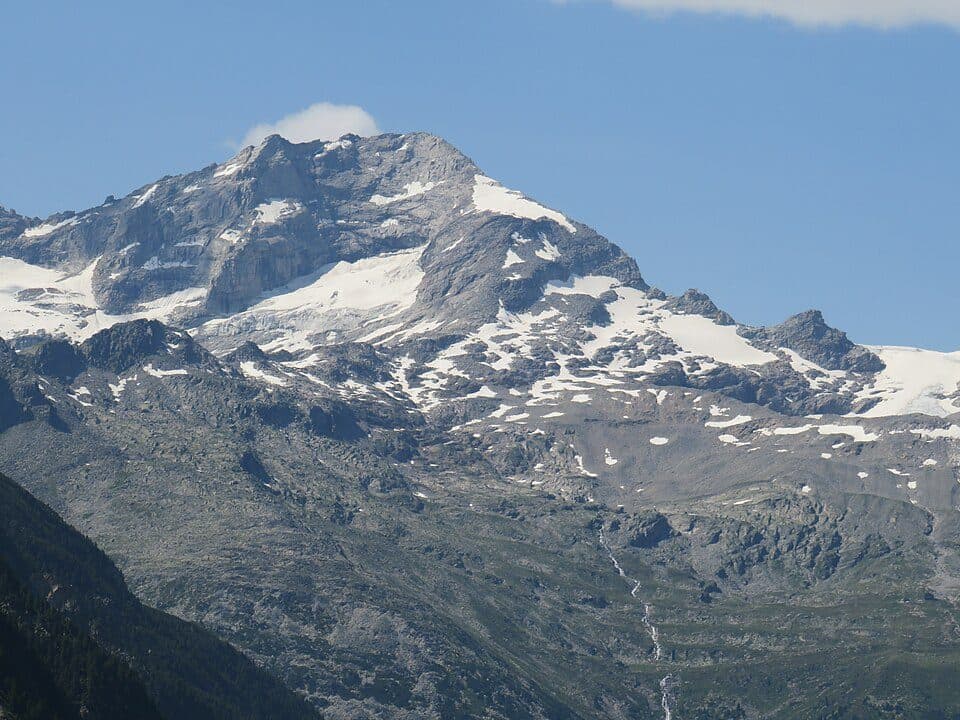
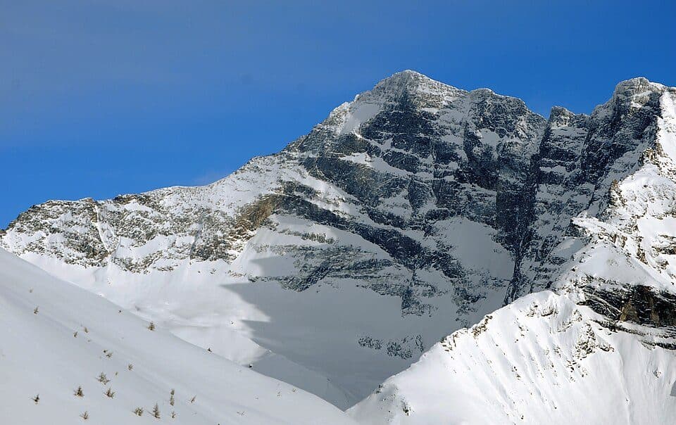
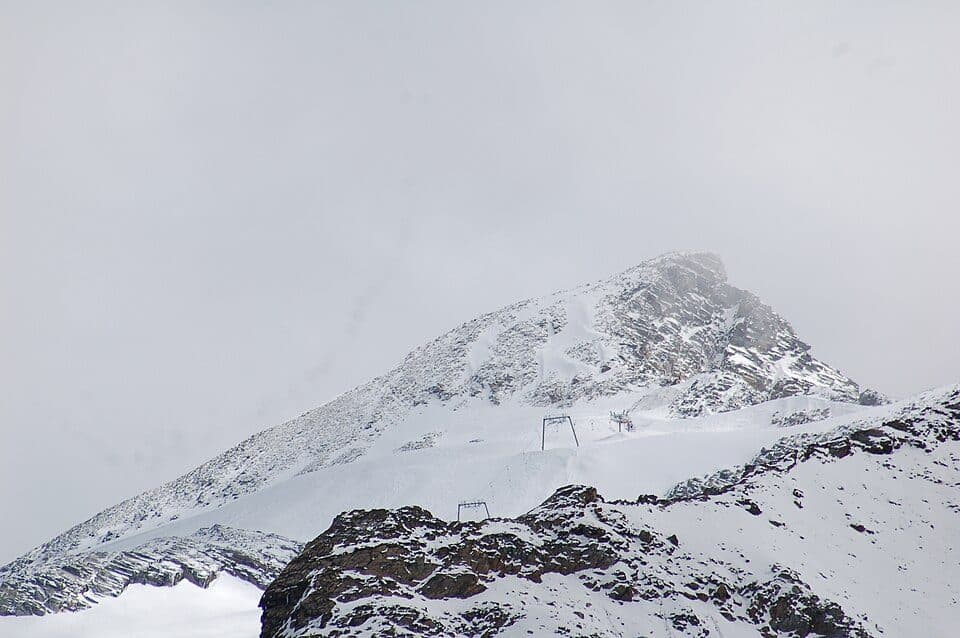
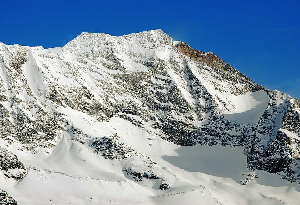
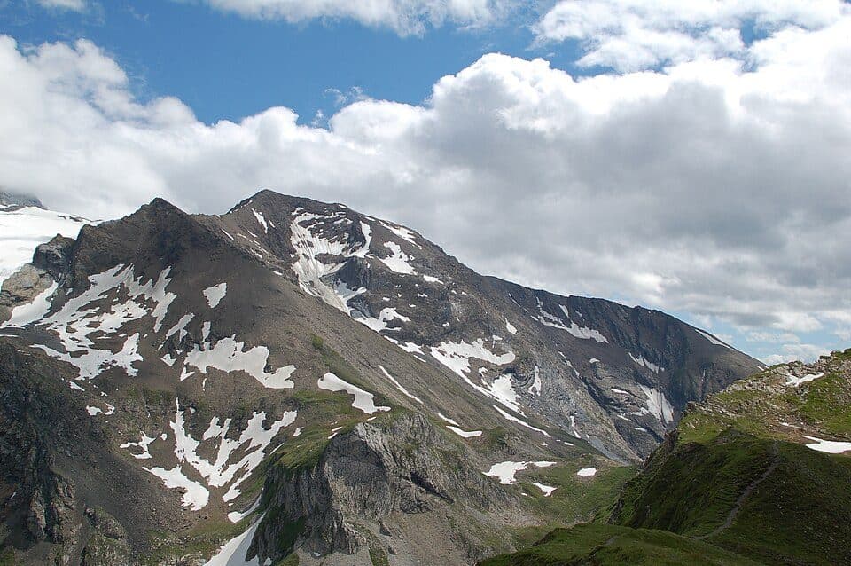
Fußstein is a striking 3,380-metre peak in the Tuxer Kamm ridge of the Zillertal Alps, prized above all by climbers for its solid granite gneiss and classic routes. It's the dominant summit above the Alpeiner Tal valley, sitting just a kilometre from the Olperer, to which it's connected by a distinct ridge.
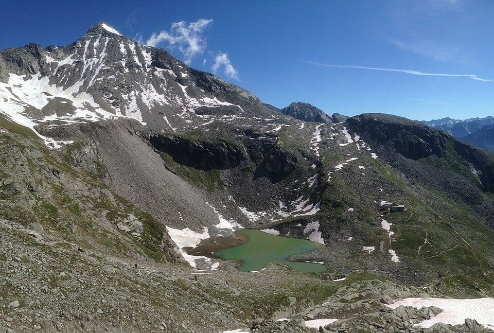
The mountain is flanked by glaciers on two sides - the Olpererferner to the north and the Unterschrammachkees to the southeast - giving it a proper high-alpine feel year-round. At the summit, marked by an iron cross with a register book, the boundaries of three municipalities meet: Vals, Schmirn and Finkenberg. Below the south ridge, near the Alpeiner Scharte, hikers can spot the remains of a former World War II molybdenum mine, including old tunnel sections and remnants of a cableway once used to transport ore down into the Valser Tal.
How to reach the summit
- Olpererhütte - the easiest route (UIAA I) via the southeast side, the same line chosen by the first ascensionists in 1880
- Geraer Hütte - the standard route via the south flank (UIAA II), first climbed in 1881 by Emil and Otto Zsigmondy
Good to know
- The most famous route is the classic north ridge, known as the Fußsteinkante (UIAA V-), first climbed in 1935 and featured in Walter Pause's well-known climbing guide
- An iron summit cross with a register book marks the top
- There's a climbing garden at the foot of the south face above the Geraer Hütte, and a lesser-known one at the western end of the north face
- The ridge traverse to the Olperer once graded V- is now closer to VII following a rockfall
The name Fußstein likely derives from the older term 'Fuirstein', meaning fire stone, hinting at the fiery character once associated with the rock.