Ładowanie mapy…
Northernmost Point of the Czech Republic
Tucked away in a quiet forest right on the Czech-German border sits a spot nicknamed the Czech 'Nordkap' - the northernmost point of the entire Czech Republic. It's a modest, almost secretive place marked only by border stone No. 2/41 and a commemorative boulder, yet it once held an even grander title: the northernmost point of the whole Austro-Hungarian Empire.
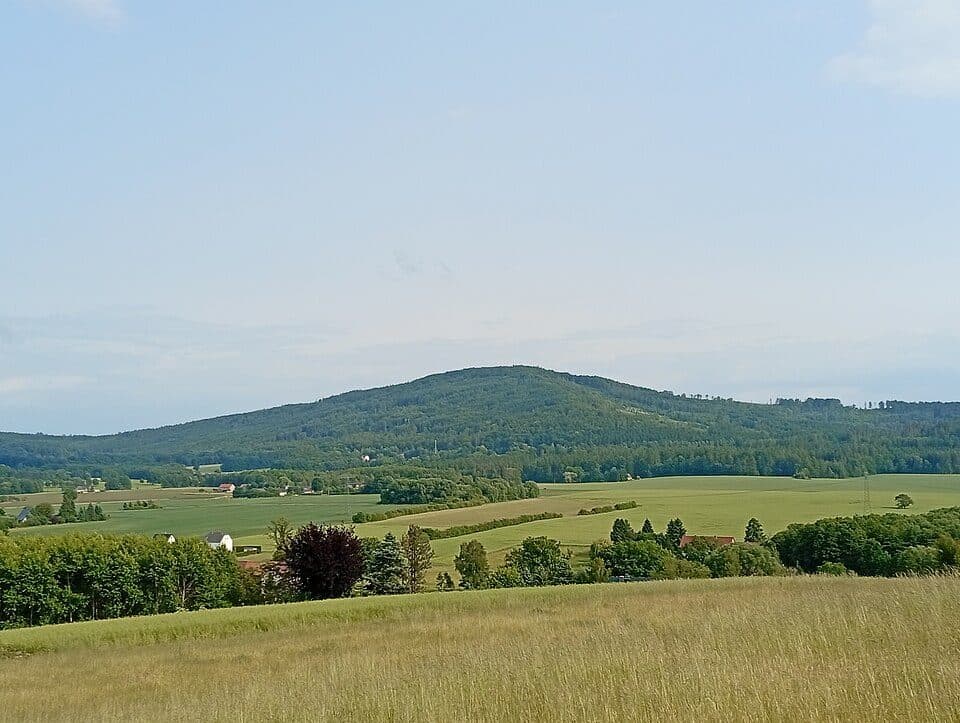
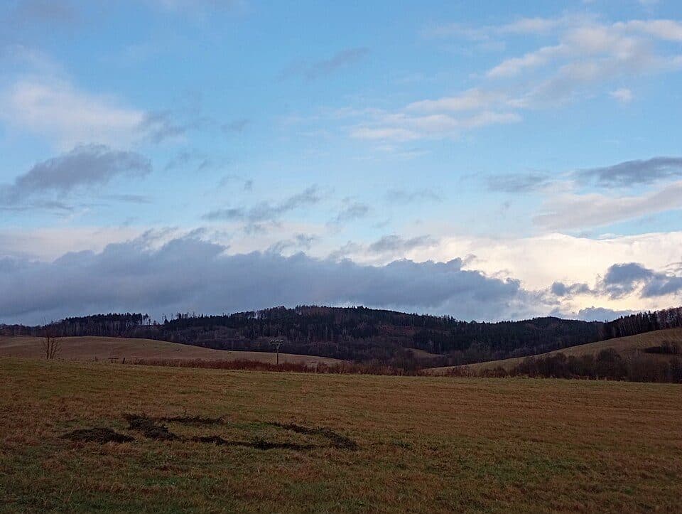
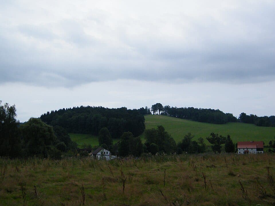
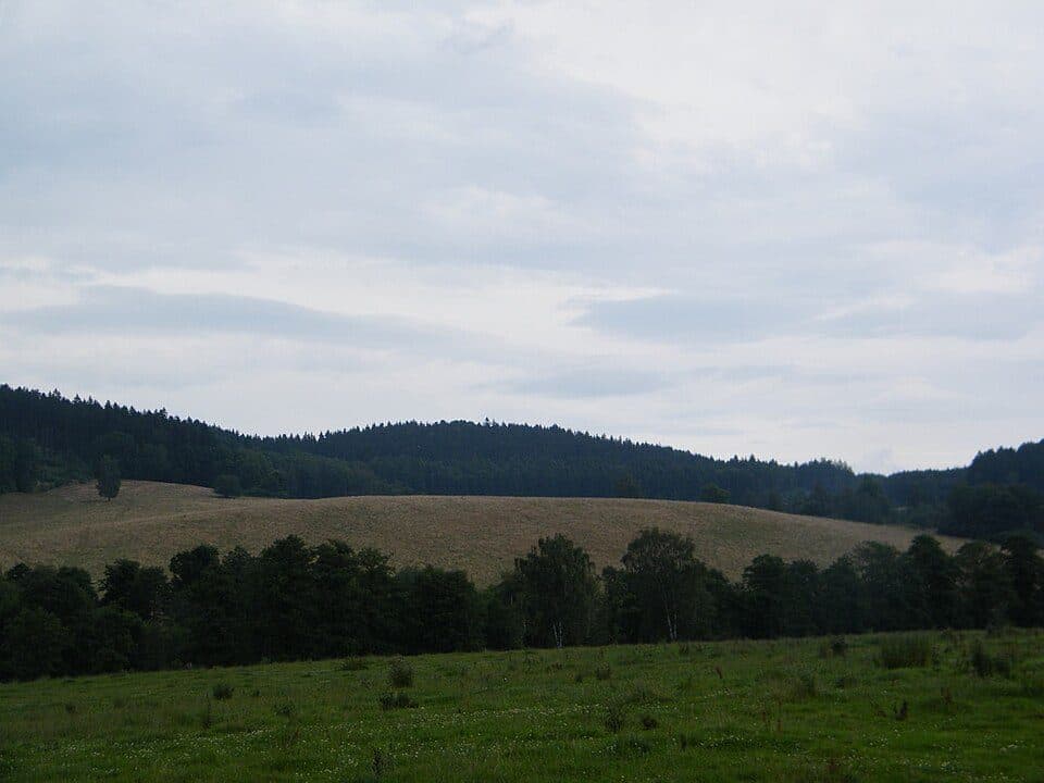
The border here runs across the northeastern slope of Buková hora (511.8 m), the northernmost mountain in Czechia, with the actual point lying about 640 metres northeast of its summit at roughly 434 metres elevation. The landscape belongs to the Šluknov Hills, built from granite and granodiorite - among the oldest igneous rock formations in Central Europe. The forest feels peaceful in every season: dappled and green in summer, golden in autumn, and hushed and still in winter snow. It's not about dramatic views here - it's about standing at a genuine geographic extreme, remarkably just 290 km from the Baltic Sea, the shortest distance from Czechia to open sea.
How to get there
- From the German inn Waldhaus - follow signs marked 'Nordkap', about 1 km, easy walk
- Along the state border via the yellow-marked trail from the Lobendava-Severní / Steinigtwolmsdorf border crossing - the yellow trail forms an 8 km loop starting at the Lobendava, Severní bus stop
Practical information
- The exact point is marked by border stone No. 2/41; a commemorative stone was unveiled here on 28 October 2013
- It's also the starting point of the Stezka středozemí, one of the routes of the Via Czechia network, leading all the way to the southernmost point of Czechia near Vyšší Brod
Until 2013, hikers believed the neighbouring border stone No. 2/40 marked the true northernmost point - a German information board still stands there today - but careful surveying proved stone 2/41 holds the real record.