Ładowanie mapy…
Lauterbacher Knochen
Peak
Ore MountainsLauterbacher Knochen (683 m) may not be the tallest summit in the Ore Mountains, but it punches well above its weight with a sweeping panoramic view and a fascinating piece of 19th-century surveying history waiting at the top. If you enjoy quiet forest walks with a rewarding payoff, this one is for you.
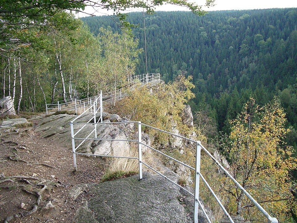
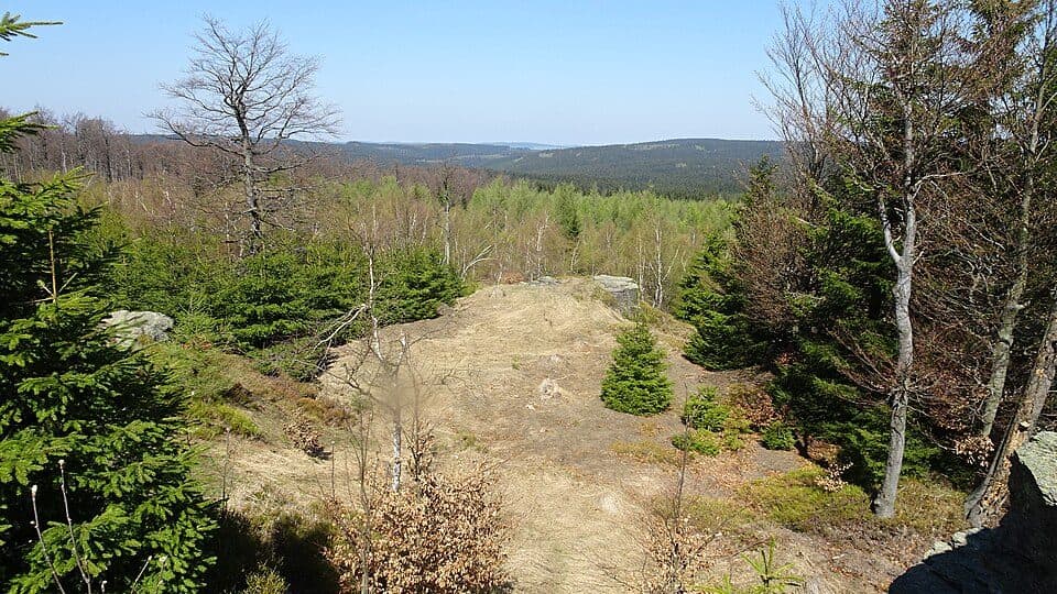
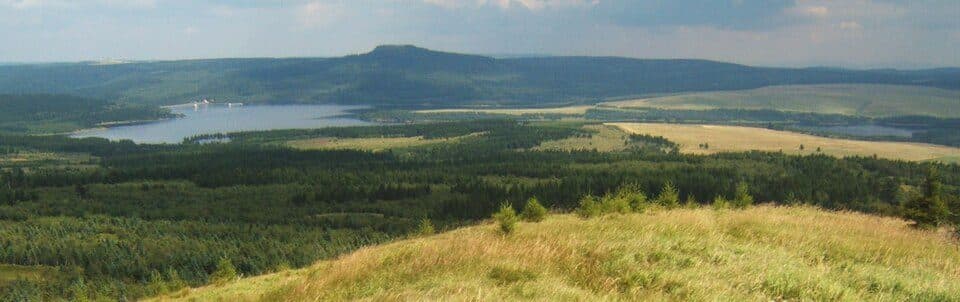
The hill rises about one kilometre north of Lauterbach, a district of Marienberg, and together with the neighbouring Dreibrüderhöhe it forms the watershed between the Zschopau and Flöha rivers along the edge of the Marienberg Plateau. The landscape is gently rolling and largely forested, making it a pleasant destination in any season. The panorama from the summit is surprisingly wide: to the northeast you can spot Waltersdorfer Höhe, to the east lies the historic mining town of Sayda and the Schwartenberg, while to the south the ridgeline includes Annahöhe, Steinhübel, Hirtstein and Dreibrüderhöhe. To the southwest the Pöhlberg stands out clearly, and on a clear day the distant silhouettes of Fichtelberg and Keilberg — the highest peaks of the Ore Mountains — appear on the horizon.
How to reach the summit- Lauterbach (district of Marienberg) — starting point at the village, approach through forest; trail colour and exact time not documented; difficulty: easy
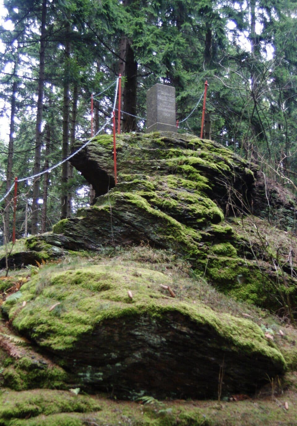
- At the summit stands triangulation pillar No. 86 of the Royal Saxon Triangulation, erected around 1870 as part of the official land survey of Saxony — what we would today call a trigonometric point (TP).
That modest stone pillar on the summit is a genuine relic of one of the great cartographic projects of 19th-century Germany — the precise survey that mapped the Kingdom of Saxony for the very first time.