Ładowanie mapy…
Karlesspitze
Peak
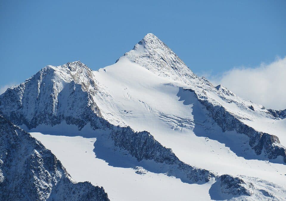
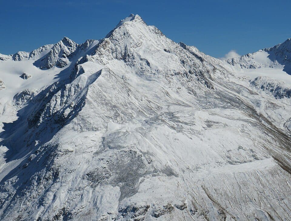
Ötztal AlpsKarlesspitze is a sharp, cone-shaped summit rising on the main ridge of the Ötztal Alps, sitting exactly on the border between Austrian Tyrol and Italian South Tyrol. It's a destination for mountaineers seeking a genuine high-alpine glacier tour rather than a casual hike.
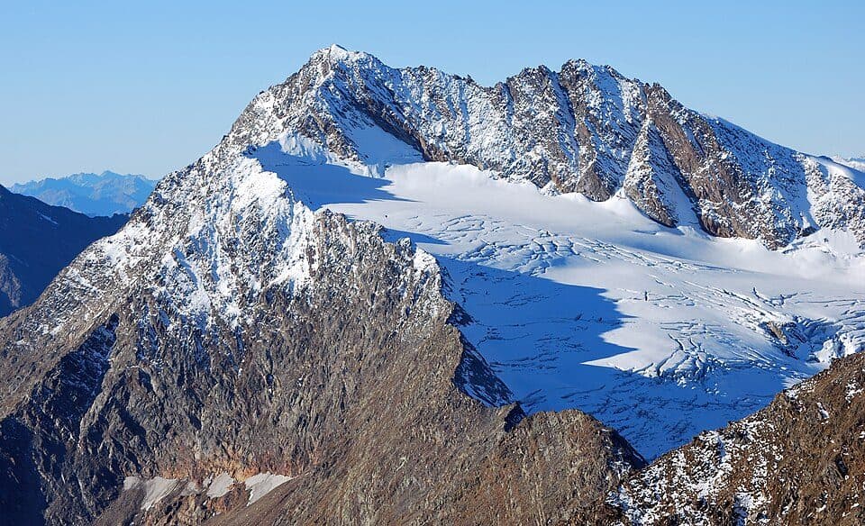
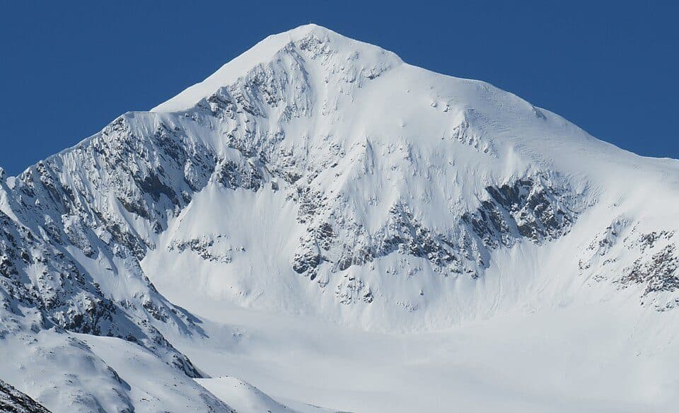
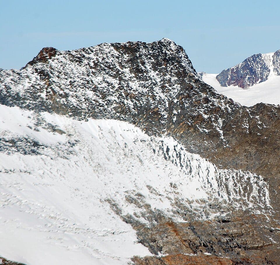
The peak has a distinctive pointed shape, partly covered in firn on its northwest and northeast flanks. To the south, a steep 500-metre wall drops into the Pfossental valley, part of the Texelgruppe Nature Park, giving the mountain striking visual dominance over the surrounding landscape. The Schalfferner glacier reaches almost to the summit from the north and west, while the Gurgler Ferner firn field lies to the east — making this a truly glacial, high-mountain environment year-round.
How to reach the summit
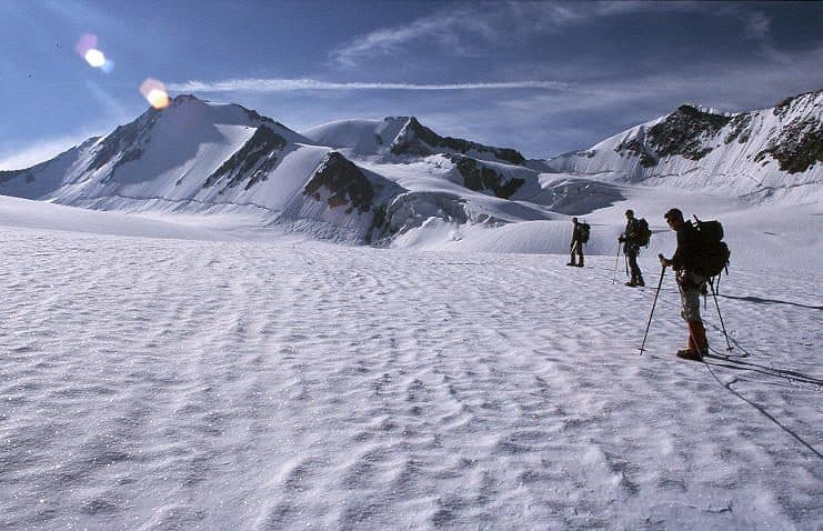
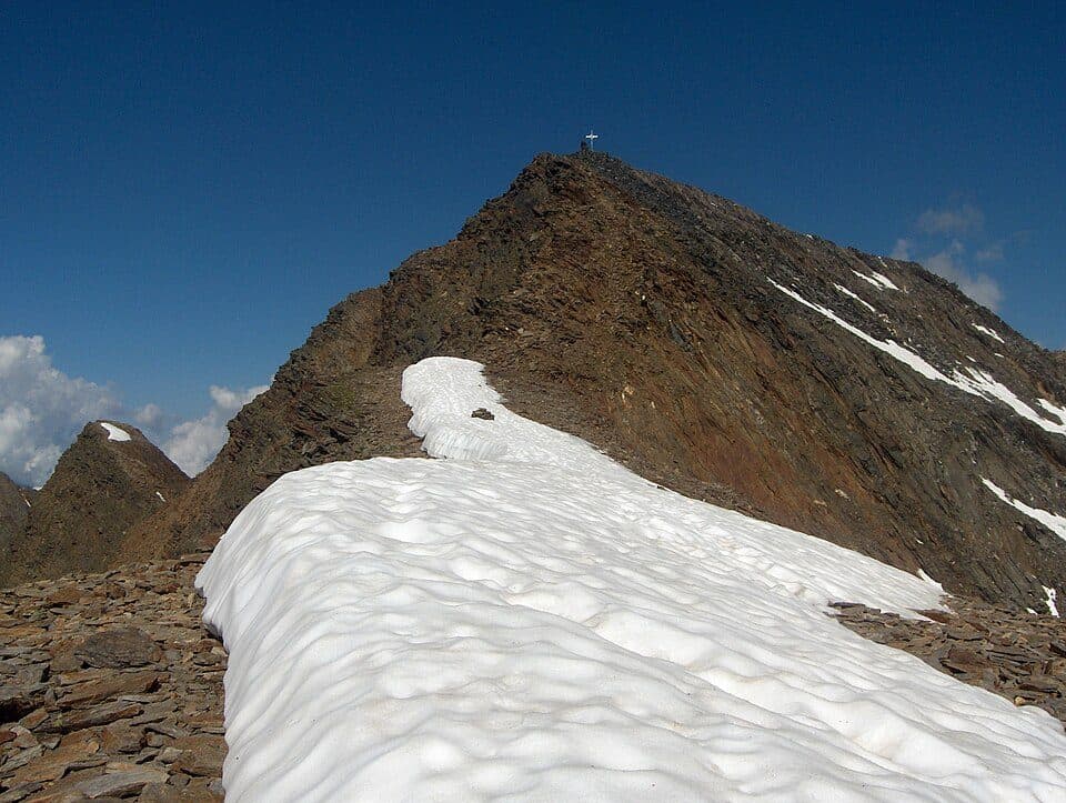
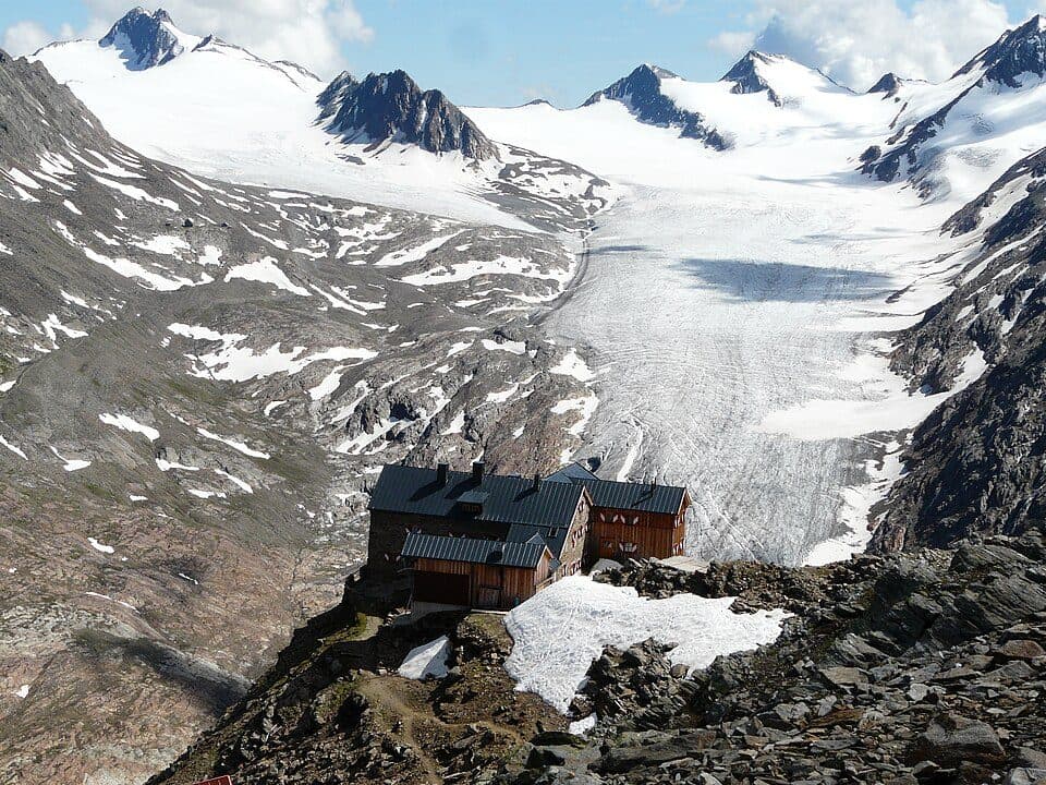
- Hochwildehaus (2883 m) — via the Gurgler Ferner glacier south to the Querkogeljoch, then a moderately difficult climb (UIAA II) over rock and boulders, followed by an exposed firn ridge to the summit — around 4.5 hours, high-alpine tour requiring proper equipment and experience
- Alternatively from the Martin-Busch-Hütte (2501 m) via the west ridge — around 6 hours
Good to know
- The route crosses glacier terrain and an exposed firn ridge — high-alpine experience and equipment required
- Hochwildehaus (2883 m) serves as the base hut
- The summit lies exactly on the Austrian-Italian border
The first tourist ascent was made in 1869 by English economist Alfred Marshall together with local mountain guides from Gurgl — his calling card, describing their route, was later found hidden under stones on the summit.
Accommodation nearby
Find hotels on Booking.comNearby peaks