Ładowanie mapy…
Wipptal
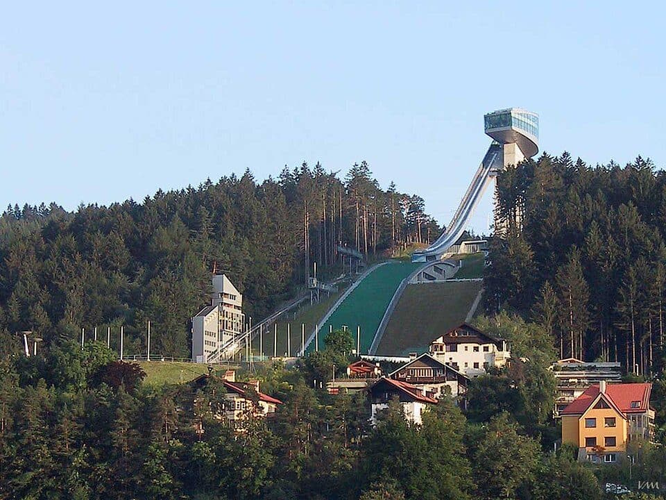
The Wipp Valley is one of the great north-south corridors of the Alps, running from Innsbruck over the Brenner Pass down to Franzensfeste in South Tyrol. It's a place where centuries of trade, travel and mountain culture have shaped a landscape that still feels remarkably alive today.
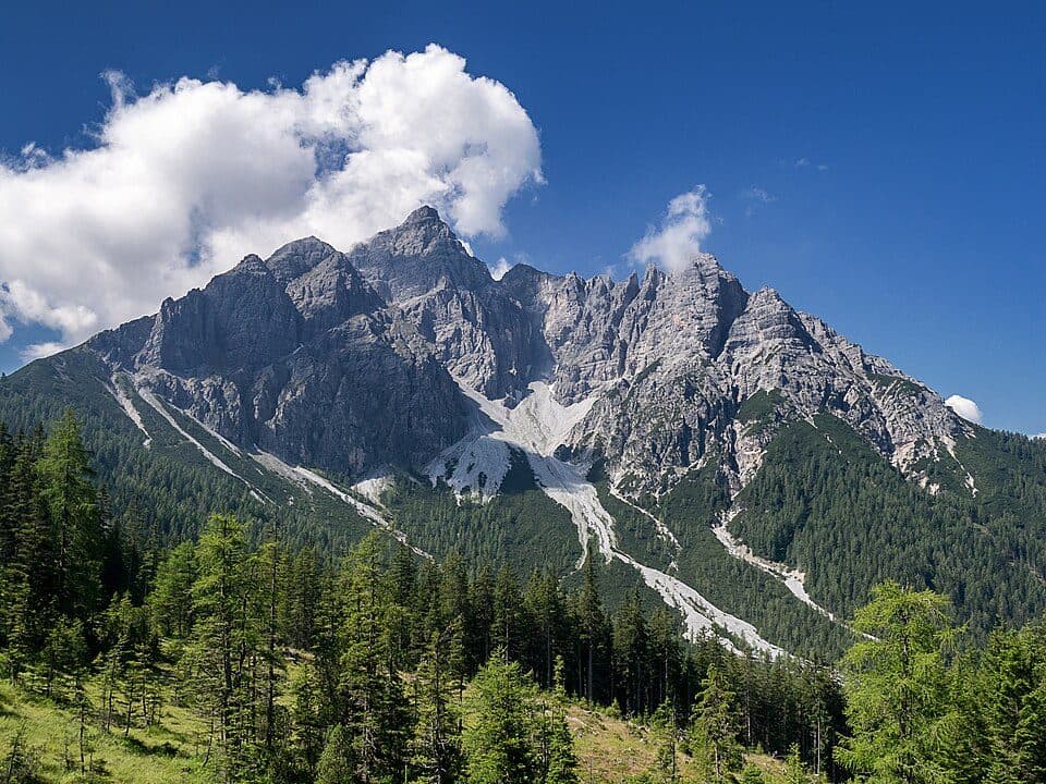
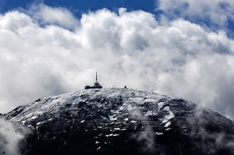
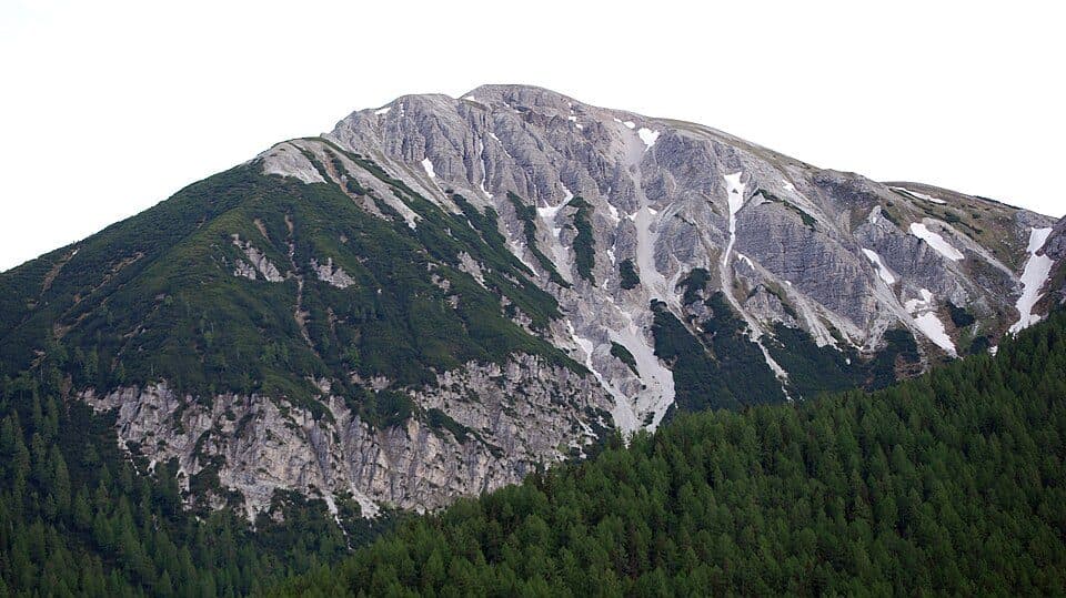
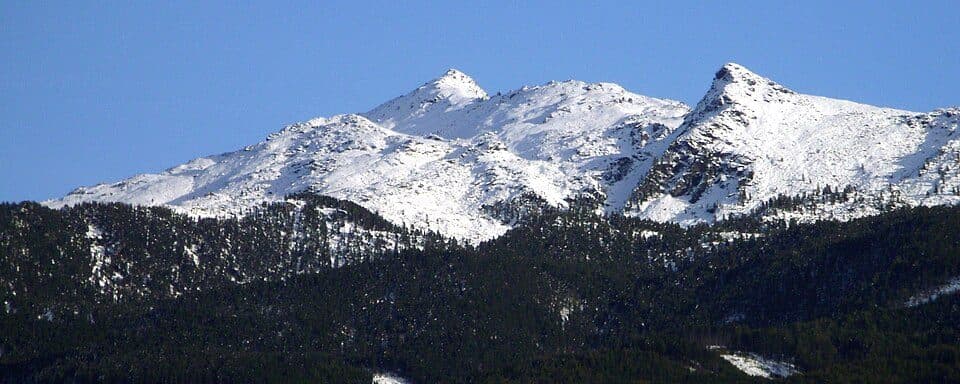
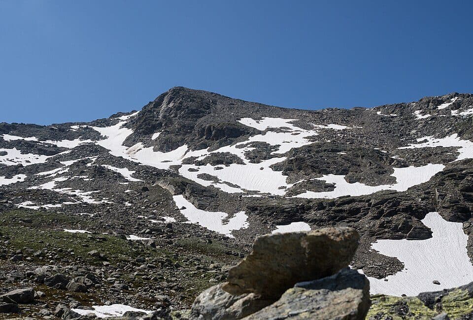
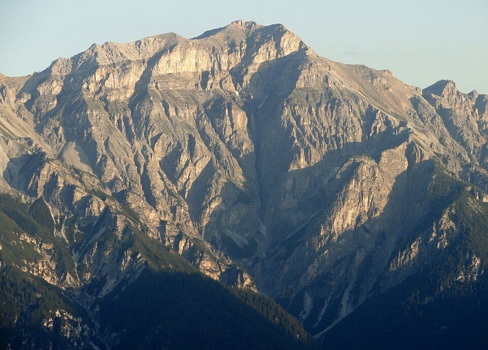
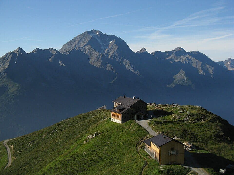
The valley splits into two distinct characters: the northern half, carved by the Sill river, is steeper and more alpine, while the southern stretch along the Eisack river around Sterzing opens into gentler, more cultivated terrain. Its side valleys — Stubaital, Gschnitztal, Obernbergtal, Pflersch and Ridnaun to the west, Navistal, Schmirntal, Valser Tal and Pfitsch to the east — offer a quieter contrast to the busy main valley, with excellent hiking away from the crowds. Summers bring lush alpine meadows and forest trails, while winters see snow blanket the peaks of the Stubai, Zillertal, Tux and Sarntal Alps that frame the valley on both sides. The occasional Föhn wind adds its own dramatic touch to the scenery.
How to get there- Innsbruck — valley starts right at the city, easy access by road or rail
- Sterzing (Vipiteno) — gateway to the southern valley and side valleys, moderate
- The Brenner Autobahn (A13/A22) runs through the valley — one of the busiest transalpine routes, so expect heavy transit traffic
- Cycle route 1 'Brenner–Salurn' crosses the South Tyrolean section
- The Brenner Base Tunnel, currently under construction, is intended to ease local traffic pressure
The valley takes its name from the Roman fort Vipitenum, and the Austrian-Italian border at the Brenner Pass only dates back to 1920 — before that, the Wipp Valley was one unified cultural and political region for centuries.