Ładowanie mapy…
Drava Valley
Valley
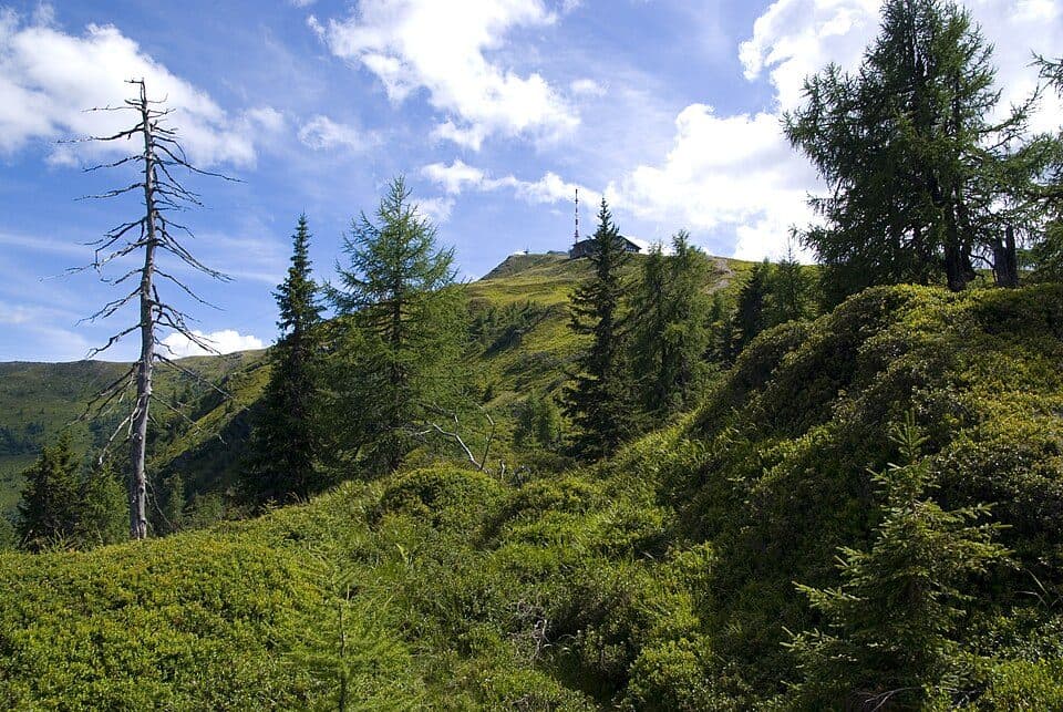
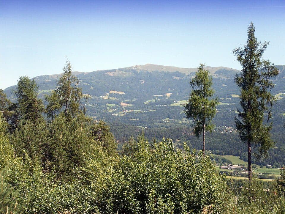
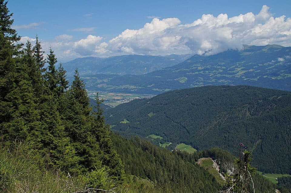
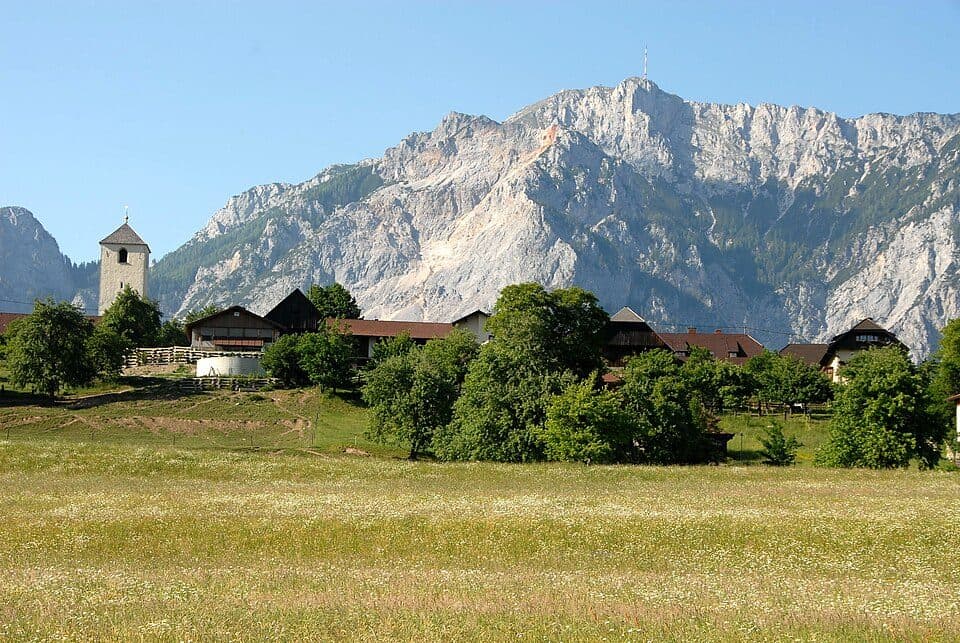
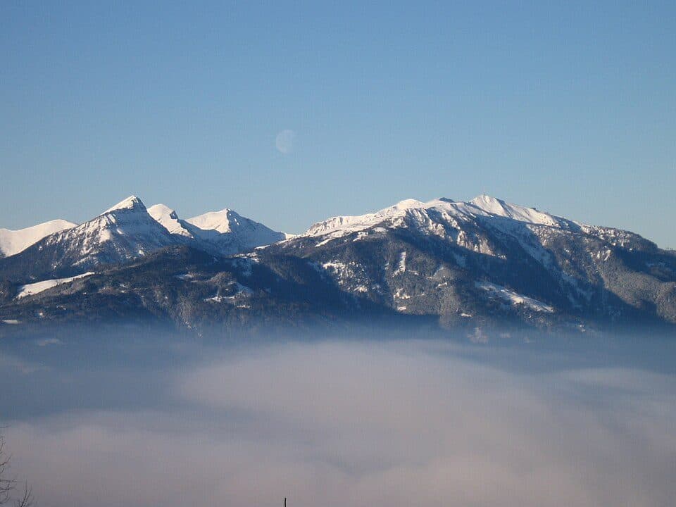
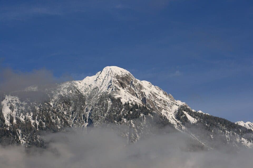
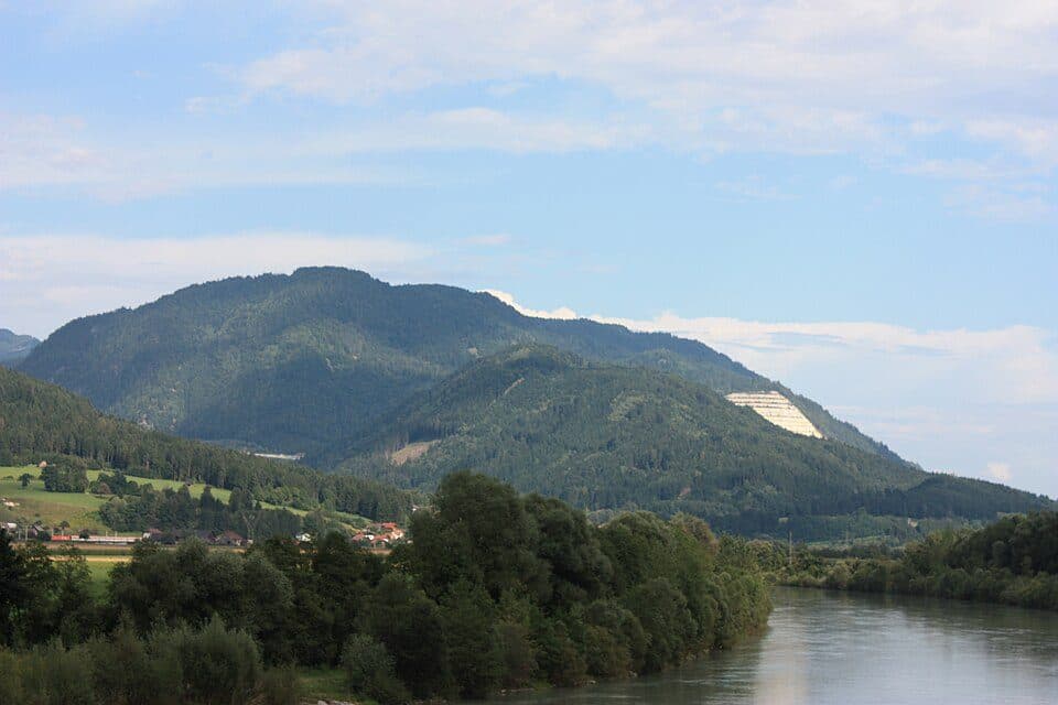
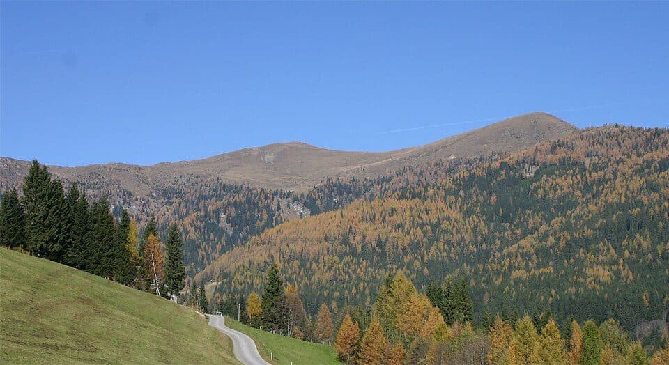
Hohe TauernThe Drava Valley is the main valley of the Austrian state of Carinthia and East Tyrol, a broad glacial corridor followed by the Drava River from its source on the Toblach Field all the way to the Slovenian border. It is a landscape of wide valley floors framed by Alpine peaks, dotted with farmland and welcoming small towns.
Running mostly west to east, the valley is one of Austria's three great longitudinal furrows tied to geological fault lines from the Alpine mountain-building process. During the Ice Age, glaciers carved it into a broad trough valley, and where sediments run deep it forms an intra-Alpine basin. The flat valley floor has long provided fertile ground for farming and settlement, making central Carinthia one of the region's most densely populated areas. In summer the valley is superb for hiking and cycling along the river, while in winter the surrounding slopes draw skiers, and the mountain views shift beautifully with the seasons.
How to get there
- Lienz (East Tyrol) — starting point of the valley, easily reached via road B100, easy route
- Spittal an der Drau or Villach — further convenient access points along the valley, reachable by the B100 road and the Drautalbahn railway
Practical information
- The Drauradweg cycle path runs the full length of the valley, from the source of the Drava to the Croatian border
- The Drautalbahn and Pustertalbahn railway lines serve the valley, connecting Lienz, Villach and Maribor
- The main valley road is the Drautal Straße (B100), running from Sillian to Villach
In the Rosental and Jauntal sections of the valley lives a large part of Carinthia's Slovene-speaking population, giving this stretch a distinctive bilingual cultural character.