Ładowanie mapy…
Bacherloch
Gorge
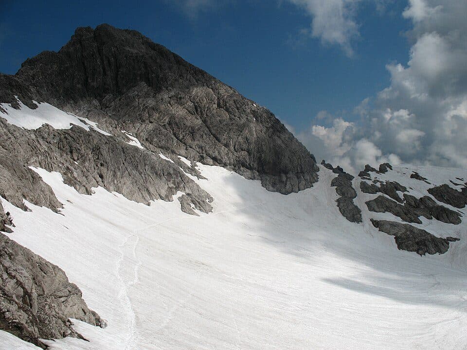
Allgäu AlpsBacherloch is a wild ravine in the Allgäu Alps near Oberstdorf, famous for its firn and ice fields that can linger for years without melting. It's a spot for hikers who want something rawer than the usual alpine trail - a steep, avalanche-fed basin ringed by towering peaks.
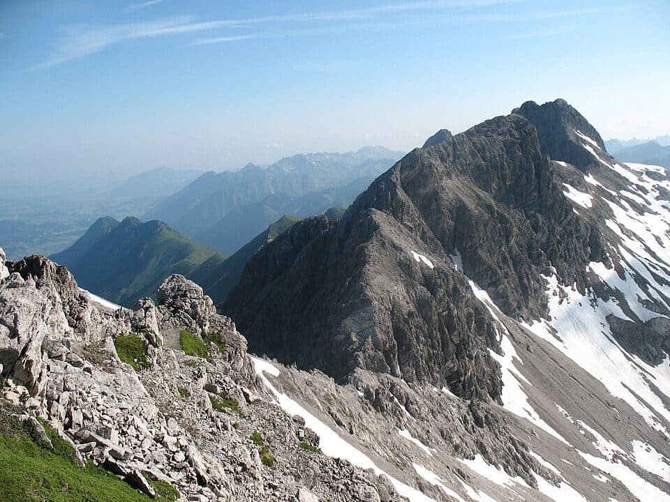
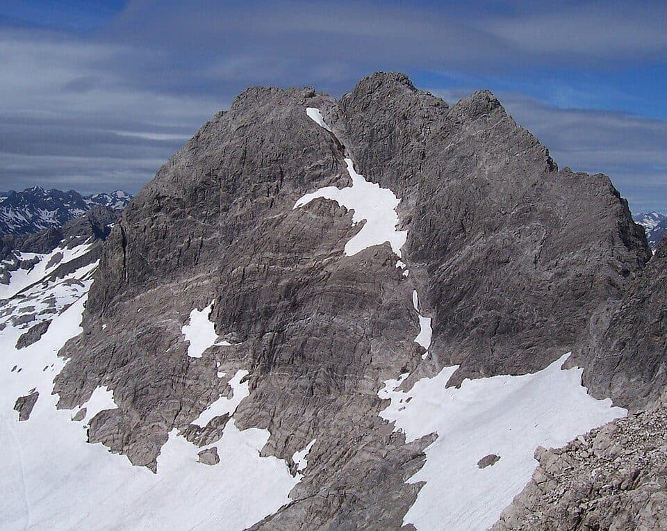
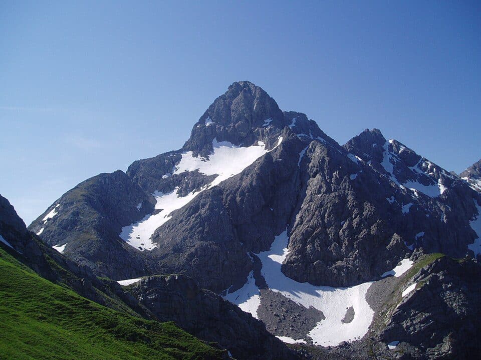
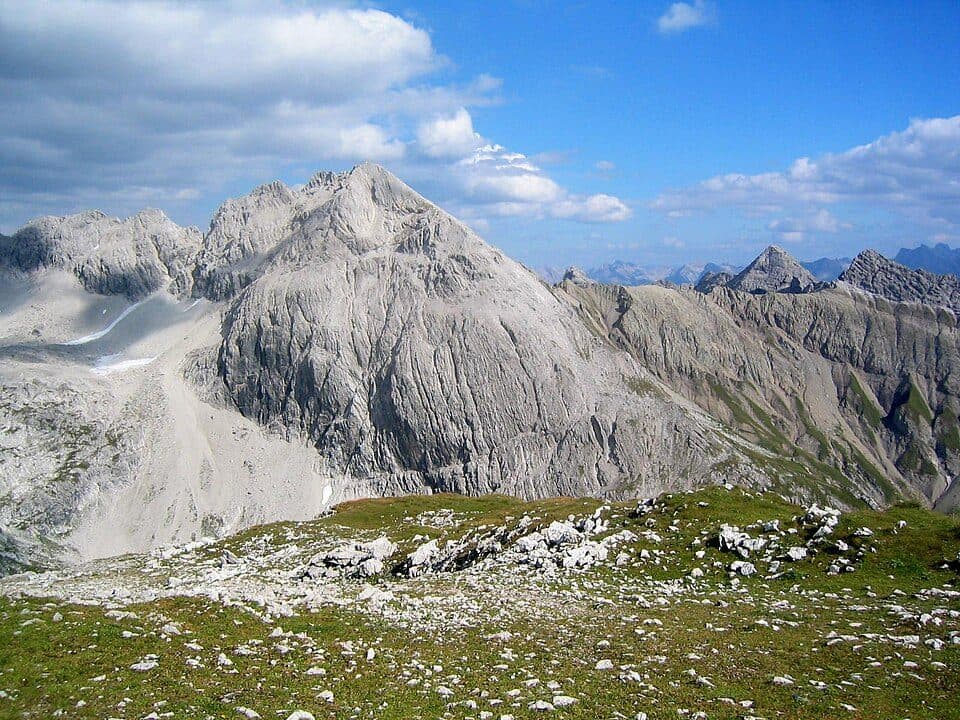
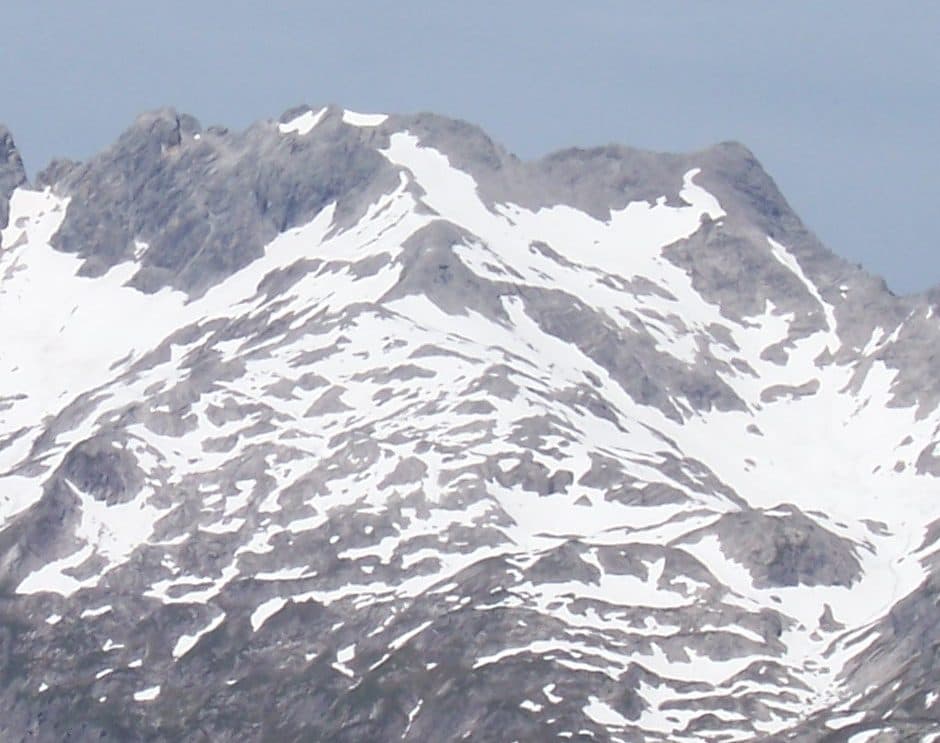
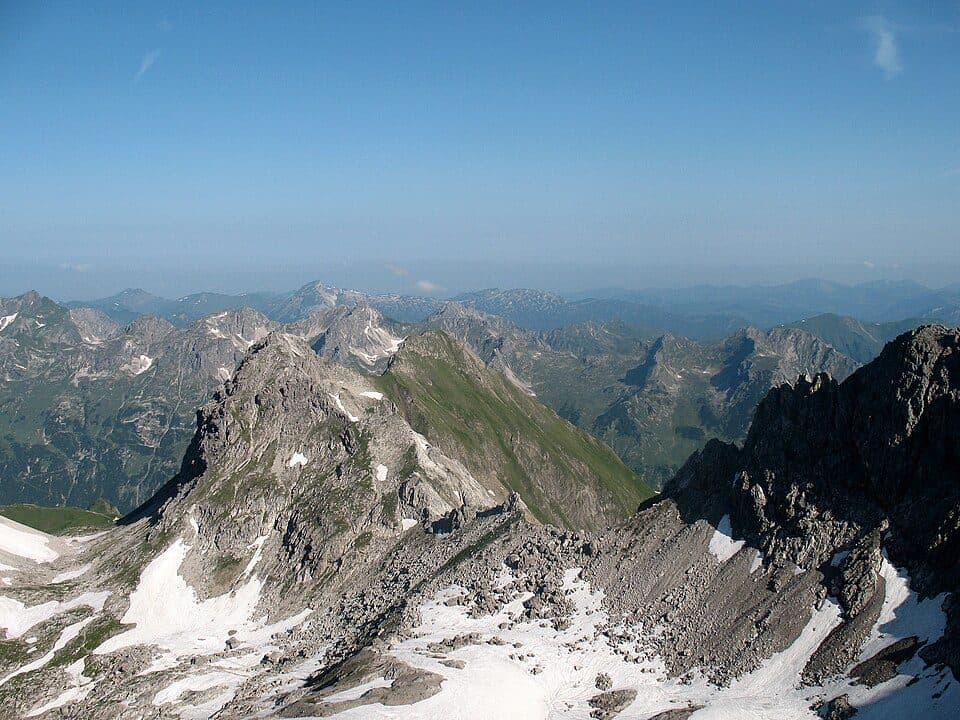
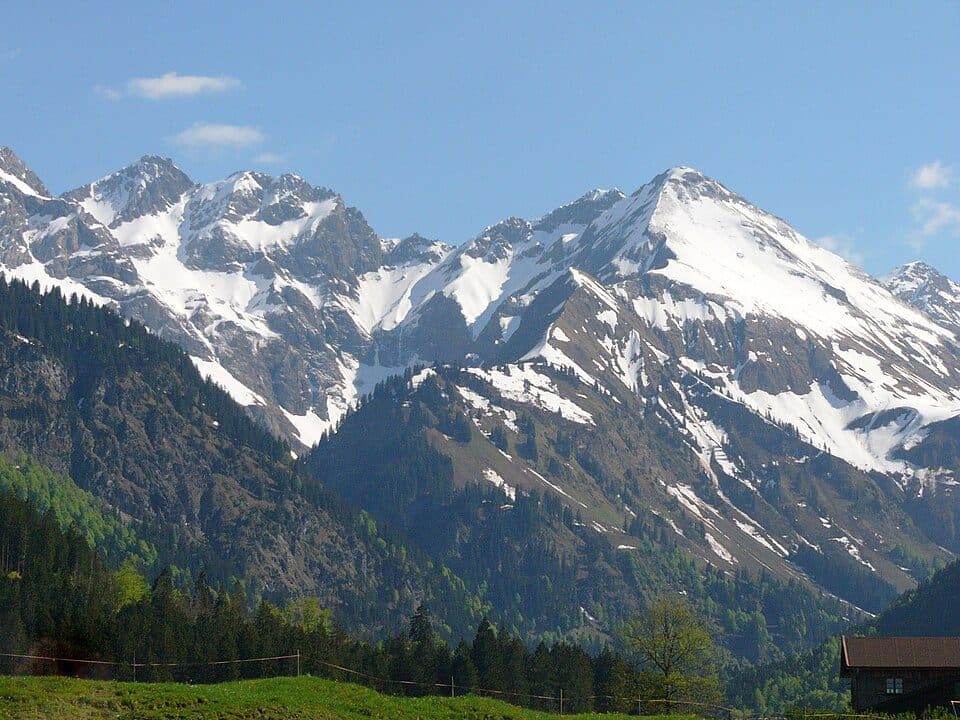
The gorge begins near Einödsbach at 1,100 m and climbs to 1,900 m, where it ends beneath steep rock walls. It's enclosed by impressive summits: to the south the Linkerskopf (2,459 m), Rotgundspitze (2,486 m), Wilde Mann (2,577 m) and Bockkarkopf (2,609 m); to the east the Mädelegabel (2,645 m), Trettachspitze (2,595 m) and Wildengundkopf (2,238 m); and to the west the Habaum stretching toward the Linkerskopf. Because of the steep, high slopes surrounding it, huge quantities of snow collect in the Bacherloch, regularly swept down by avalanches. The resulting firn and ice fields often remain for several years, forming clearly visible annual layers - a natural record of time etched into the landscape.
How to get there
- Einödsbach (1,100 m) - starting point for the hike into the ravine, route requires good orientation skills, difficulty: moderate to demanding
It's worth seeing these layered ice fields in person - one of the few spots in the Allgäu Alps where snow and ice can survive multiple seasons, preserving a visible history of past winters within their structure.